Transport Functions
Port
Hub Profile
Place type
Populated place
Region
Southwest Finland
Time zone
Europe/Helsinki
Elevation
21 m
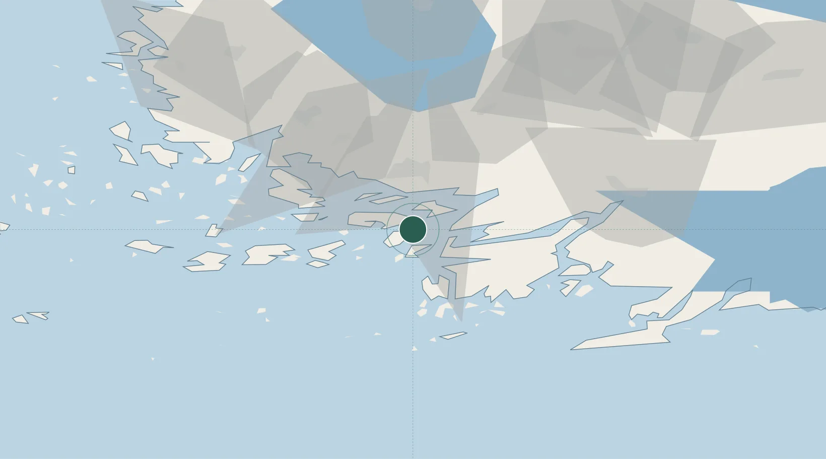
Location
Nearby Logistics Neighbours
Cities
- 1Parainen (Pargas)6 km
- 2Lielax9 km
- 3Sandö (Santasaari)11 km
- 4Skinnarvik15 km
- 5Lövböle17 km
Airports
- 1Turku Airport30 km
- 2Pori Airport138 km
- 3Kärdla Airport143 km
- 4Helsinki Vantaa Airport146 km
- 5Tampere-Pirkkala Airport147 km
Trade Zones
- 1Turku Free Zone22 km
- 2Freeport of Hanko56 km
- 3Paldiski Free Zone142 km
- 4Muuga Free Zone184 km
- 5Port of Hamina-Kotka255 km
DatabookThe Record of Consolidated Knowledge
Finland beyond logistics?