Transport Functions
Port
Hub Profile
Region
19
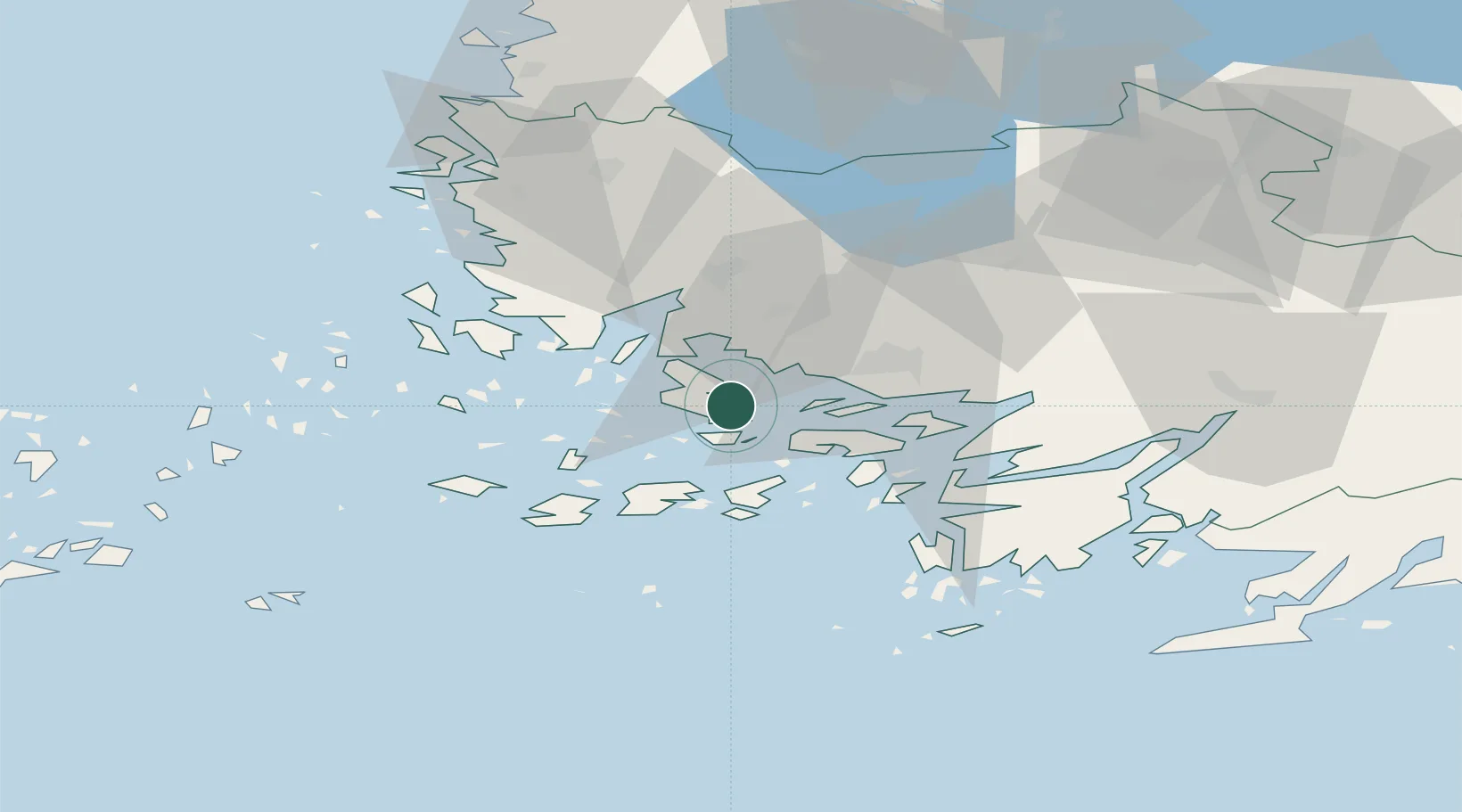
Location
Nearby Logistics Neighbours
Cities
- 1Naantali (Nådendal)10 km
- 2Åbo (Turku)16 km
- 3Velkua19 km
- 4Nagu (Nauvo)21 km
- 5Parainen (Pargas)21 km
Ports
- 1Pargas11 km
- 2Naantali12 km
- 3Turku18 km
- 4Uusikaupunki57 km
- 5Uto73 km
Airports
- 1Turku Airport24 km
- 2Mariehamn Airport116 km
- 3Pori Airport122 km
- 4Tampere-Pirkkala Airport147 km
- 5Kärdla Airport161 km
Trade Zones
- 1Turku Free Zone17 km
- 2Freeport of Hanko79 km
- 3Paldiski Free Zone165 km
- 4Muuga Free Zone208 km
- 5Stockholm Free Zone242 km
DatabookThe Record of Consolidated Knowledge
Finland beyond logistics?