UN/LOCODE hub · Finland
FILLX

Lielax

60.3167°, 22.4000°
1
Transport functions

Transport Functions

Port
UN/LOCODE

Hub Profile

Place type
Populated place
GeoNames
Region
Southwest Finland
GeoNames
Time zone
Europe/Helsinki
GeoNames
Elevation
11 m
GeoNames

Location

Location of FILLX
Natural Earth 10m (public domain) · Southwest Finland · FILLX · 60.32, 22.40GoogleOSMYandex

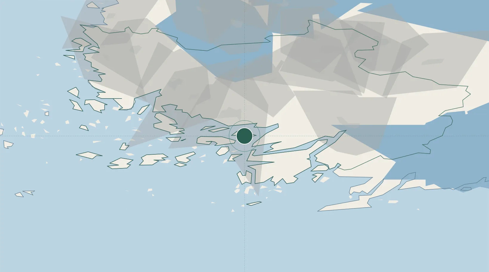
Nearby Logistics Neighbours

Cities
  1. 1Parainen (Pargas)6 km
  2. 2Tervsund9 km
  3. 3Sandö (Santasaari)12 km
  4. 4Littoinen13 km
  5. 5Piikkiö15 km
Nearest neighbours — logibook spatial index (haversine) over the source coordinates
Ports
  1. 1Turku17 km
  2. 2Pargas19 km
  3. 3Naantali27 km
  4. 4Hanko63 km
  5. 5Ekenas68 km
Nearest neighbours — logibook spatial index (haversine) over the source coordinates
Airports
  1. 1Turku Airport23 km
  2. 2Pori Airport131 km
  3. 3Tampere-Pirkkala Airport138 km
  4. 4Helsinki Vantaa Airport141 km
  5. 5Kärdla Airport149 km
Nearest neighbours — logibook spatial index (haversine) over the source coordinates
Trade Zones
  1. 1Turku Free Zone18 km
  2. 2Freeport of Hanko61 km
  3. 3Paldiski Free Zone144 km
  4. 4Muuga Free Zone185 km
  5. 5Port of Hamina-Kotka250 km
Nearest neighbours — logibook spatial index (haversine) over the source coordinates
DatabookThe Record of Consolidated Knowledge
Finland beyond logistics?
Browse databook

All Sources

LocationsUN/LOCODE
UN/LOCODE — free
Portsthe NGA World Port Index
Public domain (US gov)
AirportsOurAirports
Public domain
Trade Zonesthe World Bank SEZ database
CC BY 4.0
Trade ZonesOpen Zone Map
CC BY
← Finland locations