Channel & Berth Profile
Pilotage, Tugs & Services
Pilotage compulsoryNO
Pilotage availableYES
Pilotage advisableYES
Local assistanceYES
Tug assistanceYES
Potable waterYES
Garbage disposalYES
Facilities & Capabilities
ContainerNO
Ro-RoYES
Liquid bulkYES
Dry bulkYES
Oil terminalNO
Break bulkYES
Dry dockNO
RepairsNO
BunkeringYES
Rail linkYES
Dangerous cargo—
ISPS security—
Harbour Specifications
Harbour size
Very Small
Harbour type
Coastal (Breakwater)
Shelter
Fair
Water body
Skagerrak; North Atlantic Ocean
Tidal range
1 m
Overhead limit
Yes
Pilotage
No
Liner Connectivity
10.4
PLSCI
Port Liner Shipping Connectivity Index for Hirtshals, as published by UNCTAD for the latest available quarter. Higher values indicate stronger scheduled liner-shipping integration.
Shown relative to the highest per-port PLSCI in the dataset (1,657.9).
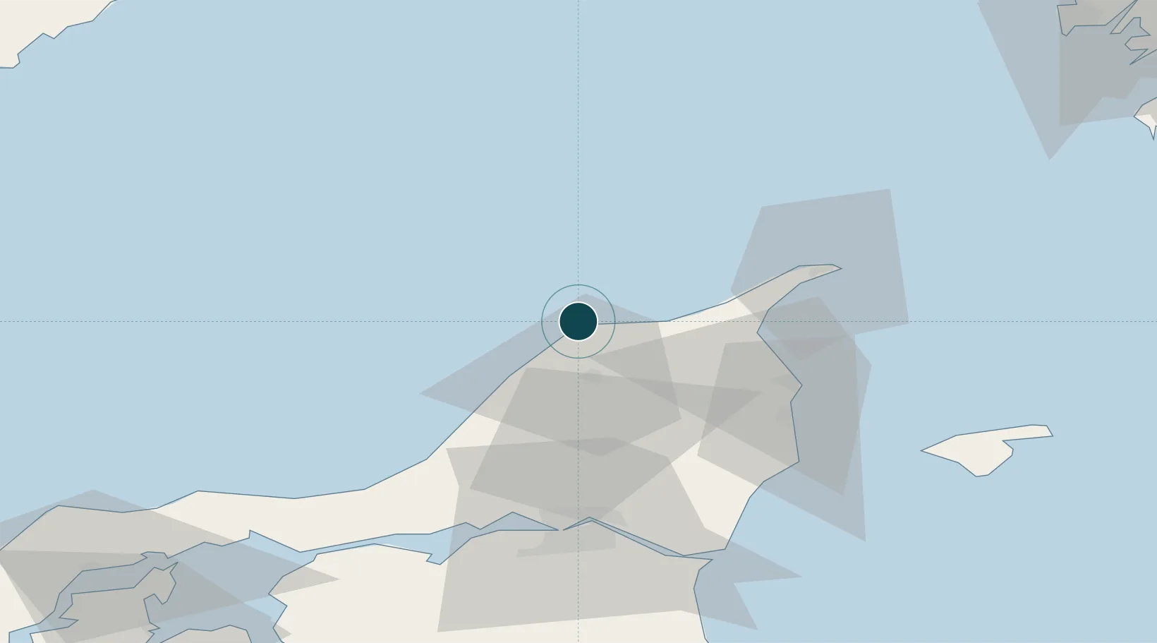
Location
Nearby Logistics Neighbours
Ports
- 1Frederikshavn40 km
- 2Skagen Havn40 km
- 3Alborg61 km
- 4Hals72 km
- 5Hanstholm97 km
Cities
- 1Aalbaek26 km
- 2Brønderslev37 km
- 3Sæby45 km
- 4Åbybro52 km
- 5Vestbjerg54 km
Airports
- 1Sindal Airport19 km
- 2Aalborg Airport57 km
- 3Læsø Airport72 km
- 4Thisted Airport96 km
- 5Säve Airport115 km
Trade Zones
- 1Gothenburg Boundless Customs Warehouse110 km
- 2Jönköping Free Zone246 km
- 3Freeport of Copenhagen- Nordhavn264 km
- 4MTS Malmö Transport and Spedition293 km
- 5Freeport of Kiel363 km
DatabookThe Record of Consolidated Knowledge
Denmark beyond logistics?