UN/LOCODE hub · Denmark
DKBRO

Brønderslev

57.2667°, 9.9500°
2
Transport functions

Transport Functions

Rail
Road
UN/LOCODE

Hub Profile

Region
81
GeoNames

Location

Location of DKBRO
Natural Earth 10m (public domain) · 81 · DKBRO · 57.27, 9.95GoogleOSMYandex

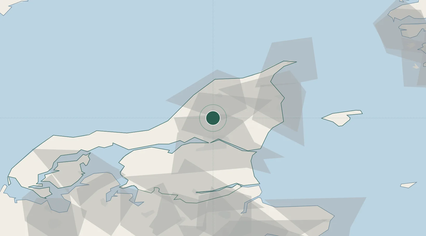
Nearby Logistics Neighbours

Cities
  1. 1Vestbjerg17 km
  2. 2Åbybro18 km
  3. 3Langholt20 km
  4. 4Aalborg25 km
  5. 5Asaa31 km
Nearest neighbours — logibook spatial index (haversine) over the source coordinates
Ports
  1. 1Alborg24 km
  2. 2Hirtshals37 km
  3. 3Hals39 km
  4. 4Frederikshavn41 km
  5. 5Hadsund62 km
Nearest neighbours — logibook spatial index (haversine) over the source coordinates
Airports
  1. 1Aalborg Airport20 km
  2. 2Sindal Airport31 km
  3. 3Læsø Airport63 km
  4. 4Thisted Airport78 km
  5. 5Skive Airport93 km
Nearest neighbours — logibook spatial index (haversine) over the source coordinates
Trade Zones
  1. 1Gothenburg Boundless Customs Warehouse122 km
  2. 2Freeport of Copenhagen- Nordhavn237 km
  3. 3Jönköping Free Zone254 km
  4. 4MTS Malmö Transport and Spedition267 km
  5. 5Freeport of Kiel326 km
Nearest neighbours — logibook spatial index (haversine) over the source coordinates
DatabookThe Record of Consolidated Knowledge
Denmark beyond logistics?
Browse databook

All Sources

LocationsUN/LOCODE
UN/LOCODE — free
Portsthe NGA World Port Index
Public domain (US gov)
AirportsOurAirports
Public domain
Trade Zonesthe World Bank SEZ database
CC BY 4.0
Trade ZonesOpen Zone Map
CC BY
← Denmark locations