Seaport · Denmark

Skagen HavnDKSKA

57.7167°, 10.6000°
7.9 m
Channel depth
11.8
Port liner connectivity

Channel & Berth Profile

SEA LEVEL (CD)CHANNEL BEDCargo pier · 4.9 mOil terminal · 4.9 mChannel · 7.9 mAnchorage · 14.0 m
NGA World Port Index

Pilotage, Tugs & Services

Pilotage availableYES
Tug assistanceYES
Potable waterYES
MedicalYES
NGA World Port Index

Facilities & Capabilities

ContainerYES
Ro-RoNO
Liquid bulkYES
Dry bulkYES
Oil terminalNO
Break bulkYES
Dry dock
RepairsNO
BunkeringYES
Rail linkYES
Dangerous cargo
ISPS security
NGA World Port Index

Harbour Specifications

Harbour size
Small
NGA World Port Index
Harbour type
Coastal (Breakwater)
NGA World Port Index
Shelter
Good
NGA World Port Index
Water body
Kattegat; North Atlantic Ocean
NGA World Port Index
Tidal range
1 m
NGA World Port Index
Overhead limit
Yes
NGA World Port Index

Liner Connectivity

11.8
PLSCI

Port Liner Shipping Connectivity Index for Skagen Havn, as published by UNCTAD for the latest available quarter. Higher values indicate stronger scheduled liner-shipping integration.

Shown relative to the highest per-port PLSCI in the dataset (1,657.9).
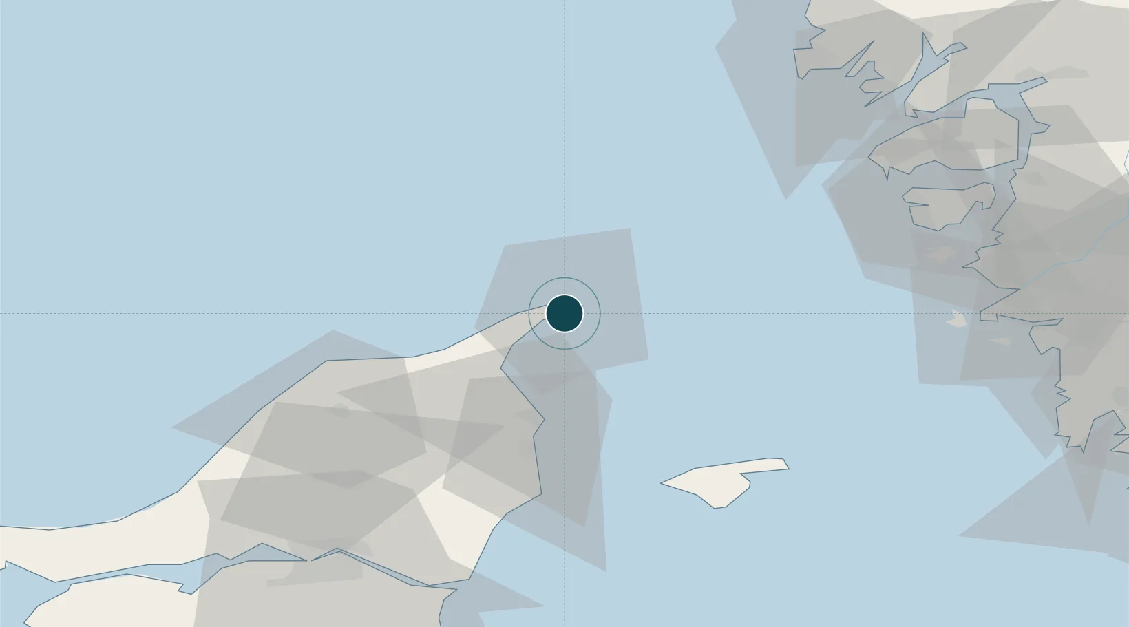
UNCTAD · Port Liner Shipping Connectivity Index

Location

Location of DKSKA
Natural Earth 10m (public domain) · Nordjylland · DKSKA · 57.72, 10.60GoogleOSMYandex

Nearby Logistics Neighbours

Ports
  1. 1Frederikshavn32 km
  2. 2Hirtshals40 km
  3. 3Marstrand61 km
  4. 4Lysekil79 km
  5. 5Goteborg81 km
Nearest neighbours — logibook spatial index (haversine) over the source coordinates
Cities
  1. 1Aalbaek19 km
  2. 2Sæby43 km
  3. 3Klädesholmen61 km
  4. 4Hönö62 km
  5. 5Rönnäng63 km
Nearest neighbours — logibook spatial index (haversine) over the source coordinates
Airports
  1. 1Sindal Airport32 km
  2. 2Læsø Airport54 km
  3. 3Säve Airport76 km
  4. 4Aalborg Airport83 km
  5. 5Göteborg Landvetter Airport100 km
Nearest neighbours — logibook spatial index (haversine) over the source coordinates
Trade Zones
  1. 1Gothenburg Boundless Customs Warehouse72 km
  2. 2Jönköping Free Zone207 km
  3. 3Freeport of Copenhagen- Nordhavn254 km
  4. 4MTS Malmö Transport and Spedition280 km
  5. 5Freeport of Kiel377 km
Nearest neighbours — logibook spatial index (haversine) over the source coordinates
DatabookThe Record of Consolidated Knowledge
Denmark beyond logistics?
Browse databook

All Sources

Portsthe NGA World Port Index
Public domain (US gov)
Logistics performanceUNCTAD
CC BY 3.0 IGO
AirportsOurAirports
Public domain
LocationsUN/LOCODE
UN/LOCODE — free
Trade Zonesthe World Bank SEZ database
CC BY 4.0
Trade ZonesOpen Zone Map
CC BY
← Denmark ports