Transport Functions
Port
Road
Hub Profile
Place type
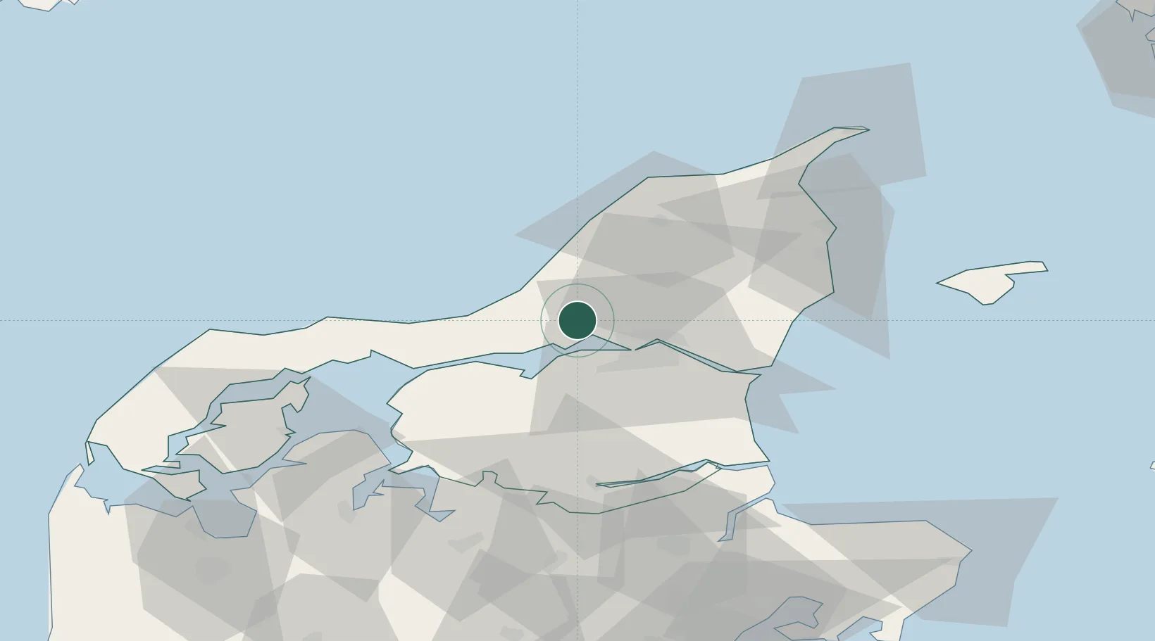
Provincial seat
Region
North Denmark
Population
6,318
Time zone
Europe/Copenhagen
Elevation
6 m
Location
Nearby Logistics Neighbours
Cities
- 1Vestbjerg13 km
- 2Brønderslev18 km
- 3Langholt21 km
- 4Aalborg22 km
- 5Gistrup23 km
Airports
- 1Aalborg Airport9 km
- 2Sindal Airport49 km
- 3Thisted Airport64 km
- 4Skive Airport75 km
- 5Læsø Airport77 km
Trade Zones
- 1Gothenburg Boundless Customs Warehouse138 km
- 2Freeport of Copenhagen- Nordhavn237 km
- 3MTS Malmö Transport and Spedition268 km
- 4Jönköping Free Zone269 km
- 5Freeport of Kiel314 km
DatabookThe Record of Consolidated Knowledge
Denmark beyond logistics?