Channel & Berth Profile
Pilotage, Tugs & Services
Pilotage compulsoryYES
Pilotage availableYES
Tug assistanceYES
Salvage tugsNO
Potable waterYES
Facilities & Capabilities
ContainerNO
Ro-RoYES
Liquid bulkNO
Dry bulkYES
Oil terminalNO
Break bulkYES
Dry dockNO
RepairsNO
BunkeringYES
Rail link—
Dangerous cargo—
ISPS security—
Harbour Specifications
Harbour size
Very Small
Harbour type
River (Natural)
Shelter
Good
Water body
Kattegat; North Atlantic Ocean
Tidal range
1 m
Pilotage
Yes
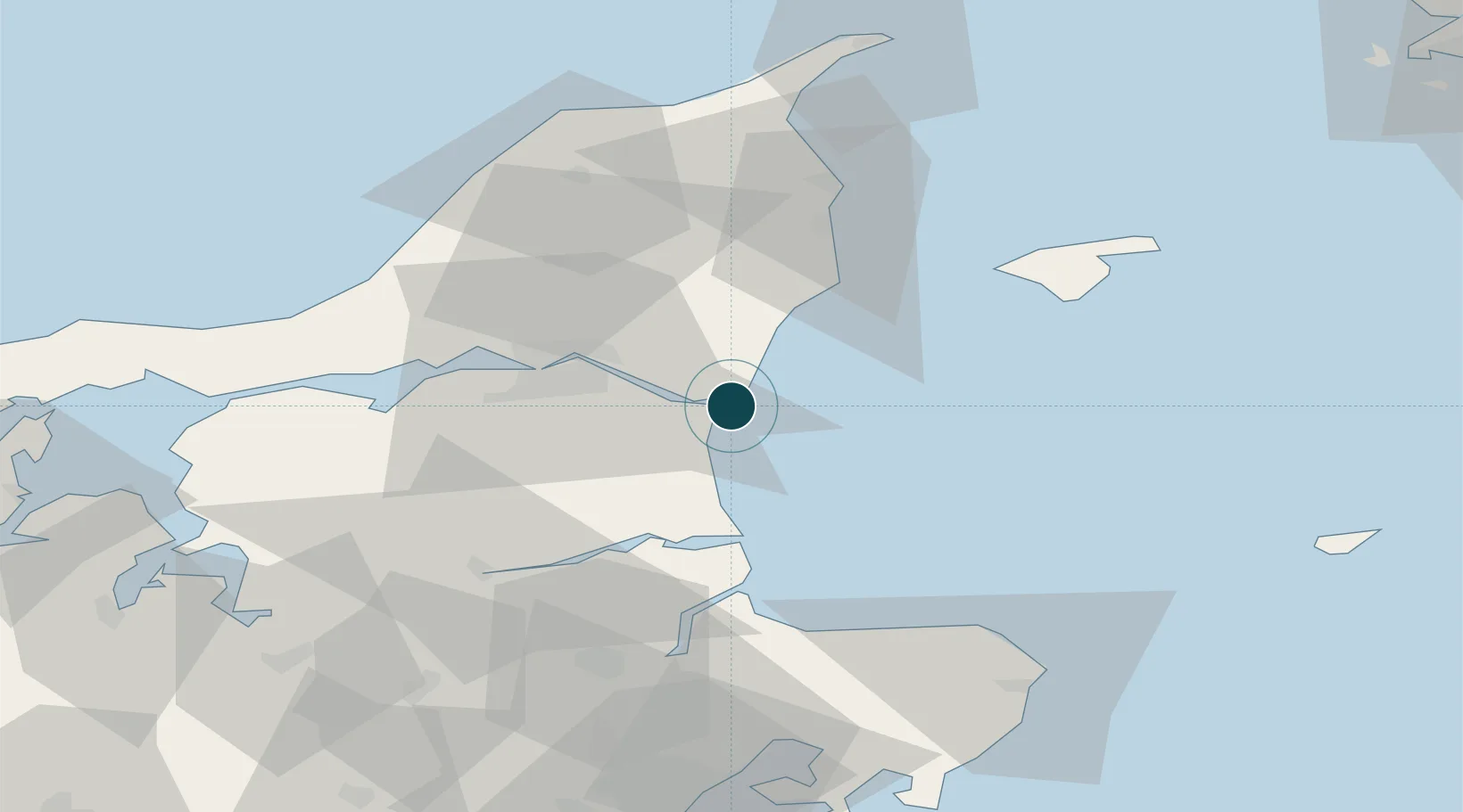
Location
Nearby Logistics Neighbours
Ports
- 1Alborg24 km
- 2Hadsund32 km
- 3Mariager42 km
- 4Hobro50 km
- 5Frederikshavn52 km
Airports
- 1Aalborg Airport31 km
- 2Læsø Airport53 km
- 3Sindal Airport58 km
- 4Aarhus Airport78 km
- 5Anholt Airfield82 km
Trade Zones
- 1Gothenburg Boundless Customs Warehouse120 km
- 2Freeport of Copenhagen- Nordhavn199 km
- 3MTS Malmö Transport and Spedition230 km
- 4Jönköping Free Zone243 km
- 5Freeport of Kiel295 km
DatabookThe Record of Consolidated Knowledge
Denmark beyond logistics?