Medium airport · Denmark
Thisted AirportEKTS
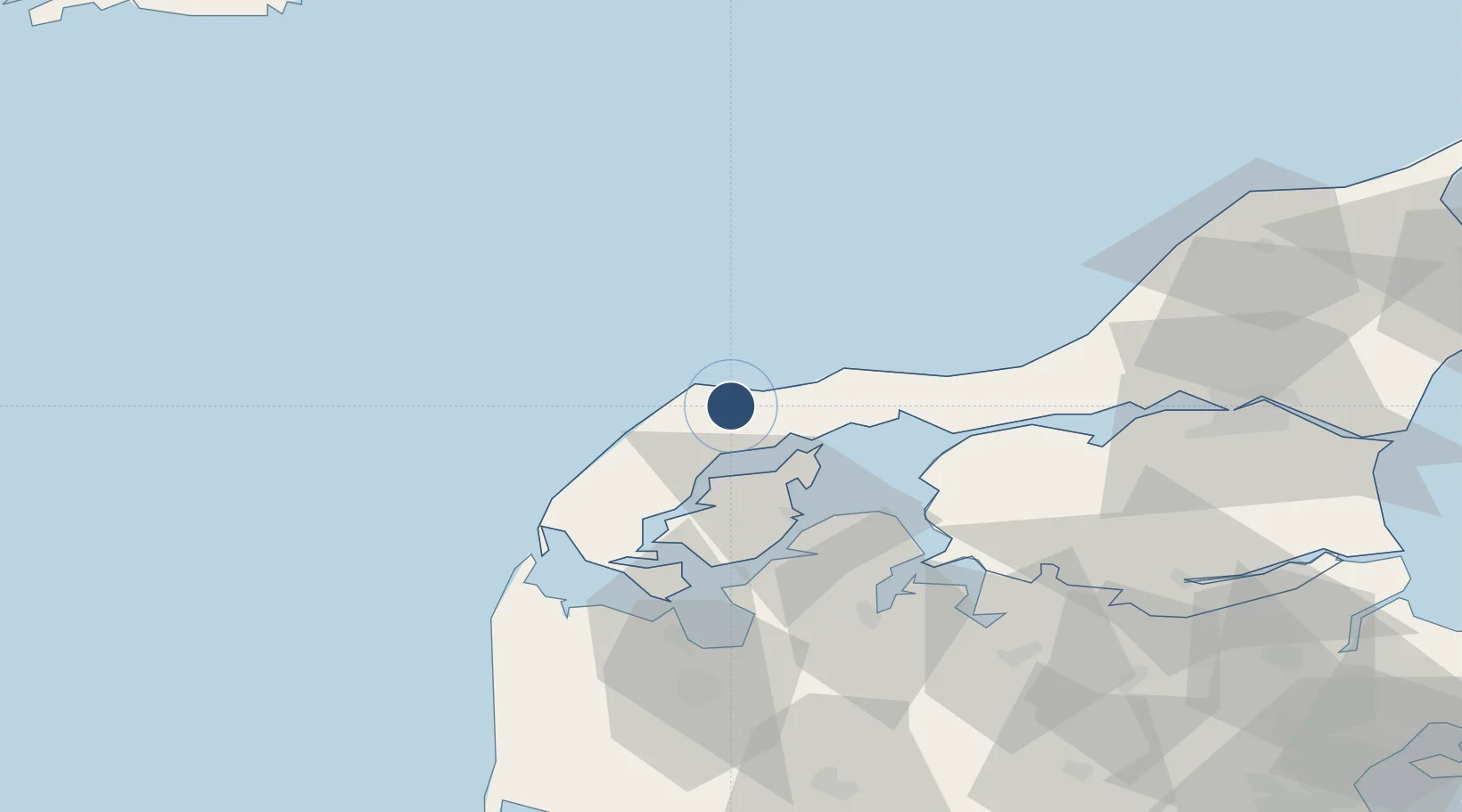
57.0688°, 8.7052°
5,249 ft
Longest runway
1
Runways
23 ft
Elevation
Runway & Layout

Radio Frequencies
RADIO
118.125 MHz
Thisted Radio
Navaids
TE NDB Thisted 331 kHz
Runways · 1
| Runway | Dimensions | Surface | True heading | Lit |
|---|---|---|---|---|
| 10/28 | 5,249 × 148ft | Asphalt | 100° | ✓ |
Airport Specifications
IATA code
TED
ICAO code
EKTS
Airport class
Medium airport
Scheduled service
No
Runway surface
Asphalt
Served city
Thisted
Location
Nearby Logistics Neighbours
Airports
- 1Skive Airport64 km
- 2Aalborg Airport69 km
- 3Midtjyllands Airport / Air Base Karup89 km
- 4Sindal Airport104 km
- 5Stauning Vestjylland Airport122 km
Cities
- 1Sundby/Mors23 km
- 2Nykøbing Mors33 km
- 3Hurup Thy40 km
- 4Strandby44 km
- 5Thyholm48 km
Ports
- 1Hanstholm10 km
- 2Thisted13 km
- 3Thyboron51 km
- 4Lemvig60 km
- 5Holstebro-Stuer64 km
Trade Zones
- 1Gothenburg Boundless Customs Warehouse199 km
- 2Freeport of Copenhagen- Nordhavn283 km
- 3MTS Malmö Transport and Spedition316 km
- 4Freeport of Kiel318 km
- 5Jönköping Free Zone332 km
DatabookThe Record of Consolidated Knowledge
Denmark beyond logistics?