Small airport · Denmark
Læsø AirportEKLS
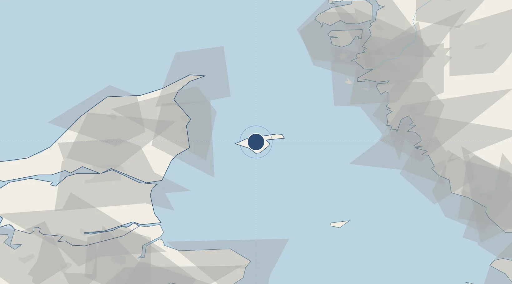
57.2772°, 11.0001°
3,045 ft
Longest runway
1
Runways
25 ft
Elevation
Runway & Layout

Radio Frequencies
AFIS
124.975 MHz
COPPENHAGEN INFO
RDO
123.5 MHz
Runways · 1
| Runway | Dimensions | Surface | True heading | Lit |
|---|---|---|---|---|
| 07/25 | 3,045 × 75ft | Asphalt | 065° | ✓ |
Airport Specifications
IATA code
BYR
ICAO code
EKLS
Airport class
Small airport
Scheduled service
Yes
Runway surface
Asphalt
Served city
Læsø
Location
Nearby Logistics Neighbours
Airports
- 1Sindal Airport53 km
- 2Aalborg Airport72 km
- 3Anholt Airfield73 km
- 4Säve Airport76 km
- 5Göteborg Landvetter Airport88 km
Ports
- 1Frederikshavn32 km
- 2Hals53 km
- 3Skagen Havn54 km
- 4Alborg69 km
- 5Hirtshals72 km
Trade Zones
DatabookThe Record of Consolidated Knowledge
Denmark beyond logistics?