Channel & Berth Profile
Pilotage, Tugs & Services
Pilotage compulsoryYES
Local assistanceYES
Tug assistanceYES
Potable waterYES
Facilities & Capabilities
ContainerNO
Ro-RoYES
Liquid bulkYES
Dry bulkYES
Oil terminalNO
Break bulkYES
Dry dockNO
RepairsNO
BunkeringYES
Rail linkYES
Dangerous cargo—
ISPS security—
Harbour Specifications
Harbour size
Very Small
Harbour type
Coastal (Breakwater)
Shelter
Fair
Water body
North Sea; North Atlantic Ocean
Tidal range
1 m
Overhead limit
Yes
Pilotage
Yes
Liner Connectivity
15.8
PLSCI
Port Liner Shipping Connectivity Index for Hanstholm, as published by UNCTAD for the latest available quarter. Higher values indicate stronger scheduled liner-shipping integration.
Shown relative to the highest per-port PLSCI in the dataset (1,657.9).
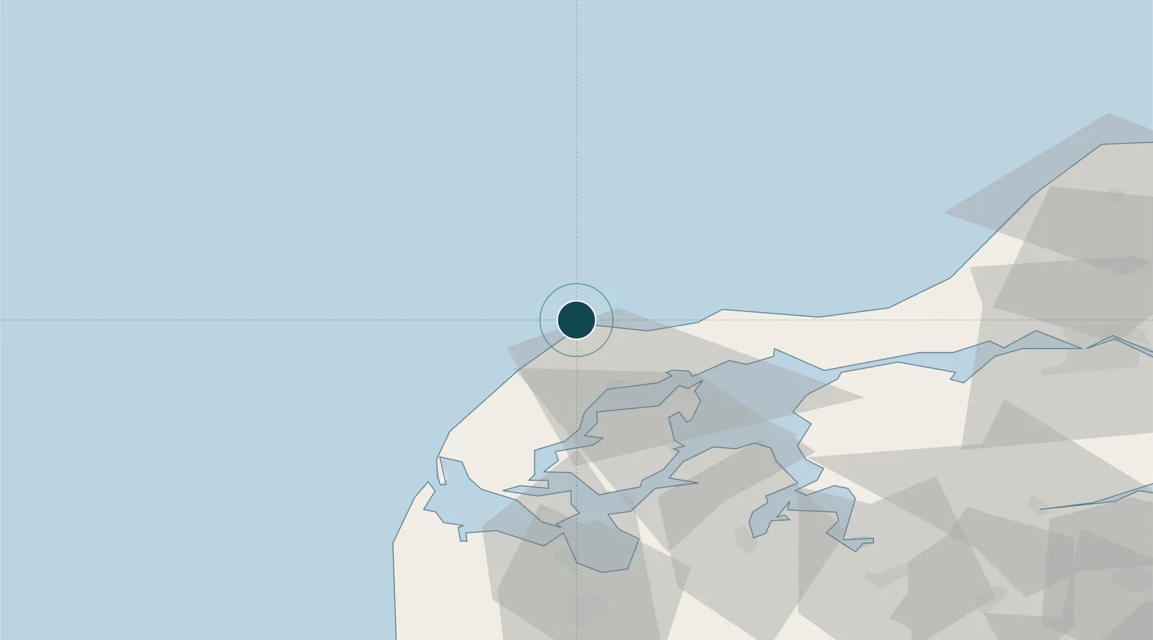
Location
Nearby Logistics Neighbours
Ports
- 1Thisted21 km
- 2Thyboron54 km
- 3Lemvig64 km
- 4Holstebro-Stuer70 km
- 5Alborg81 km
Cities
- 1Sundby/Mors30 km
- 2Nykøbing Mors42 km
- 3Hurup Thy44 km
- 4Thyborøn54 km
- 5Strandby54 km
Airports
- 1Thisted Airport10 km
- 2Skive Airport74 km
- 3Aalborg Airport76 km
- 4Midtjyllands Airport / Air Base Karup98 km
- 5Sindal Airport106 km
Trade Zones
- 1Gothenburg Boundless Customs Warehouse203 km
- 2Freeport of Copenhagen- Nordhavn292 km
- 3MTS Malmö Transport and Spedition325 km
- 4Freeport of Kiel326 km
- 5Jönköping Free Zone336 km
DatabookThe Record of Consolidated Knowledge
Denmark beyond logistics?