UN/LOCODE hub · Denmark
DKSAE

Sæby

57.3333°, 10.5333°
3
Transport functions

Transport Functions

Port
Rail
Road
UN/LOCODE

Location

Location of DKSAE
Natural Earth 10m (public domain) · Nordjylland · DKSAE · 57.33, 10.53GoogleOSMYandex

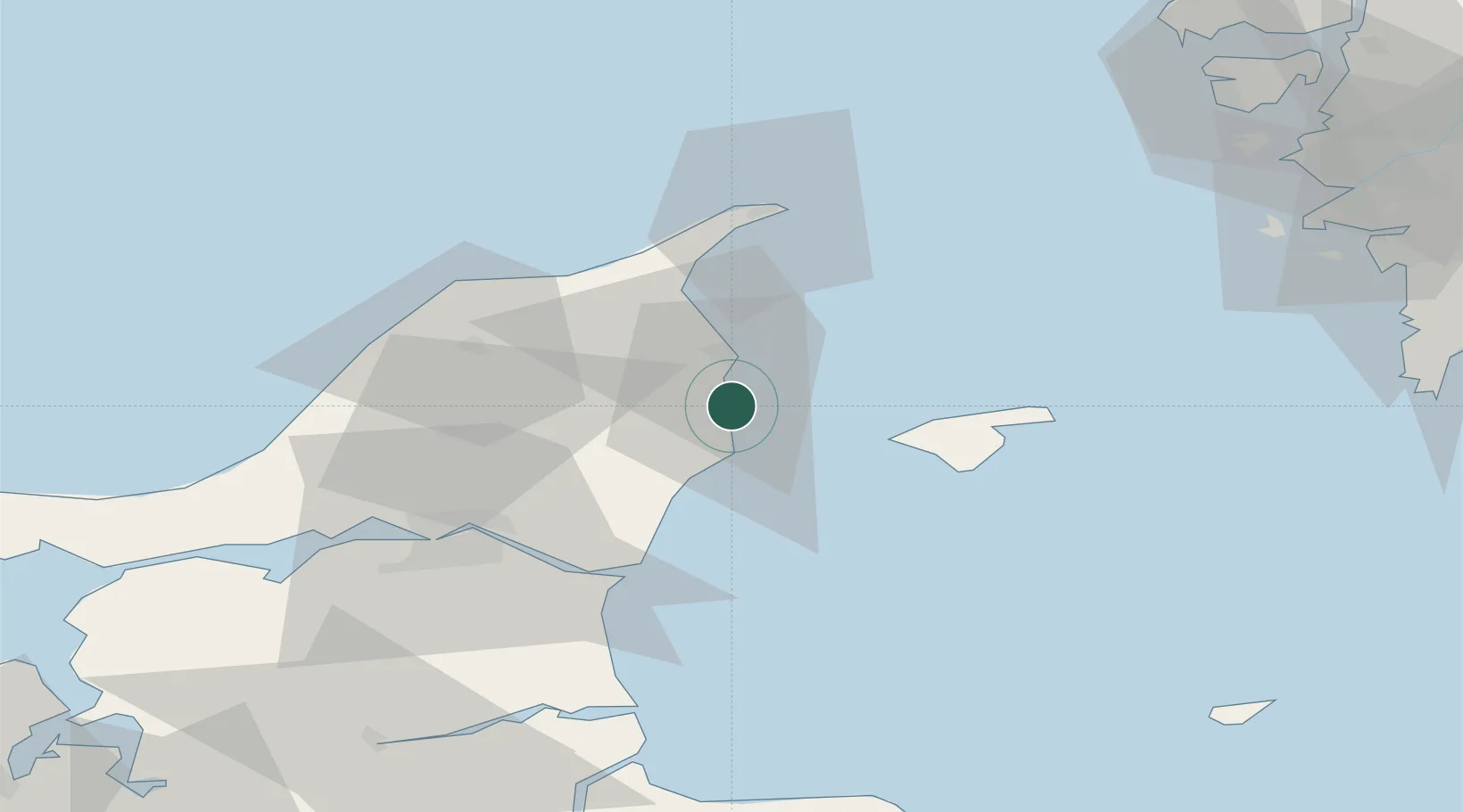
Nearby Logistics Neighbours

Cities
  1. 1Asaa22 km
  2. 2Aalbaek29 km
  3. 3Brønderslev36 km
  4. 4Langholt38 km
  5. 5Vestbjerg43 km
Nearest neighbours — logibook spatial index (haversine) over the source coordinates
Ports
  1. 1Frederikshavn11 km
  2. 2Hals41 km
  3. 3Skagen Havn43 km
  4. 4Hirtshals45 km
  5. 5Alborg48 km
Nearest neighbours — logibook spatial index (haversine) over the source coordinates
Airports
  1. 1Sindal Airport26 km
  2. 2Læsø Airport29 km
  3. 3Aalborg Airport49 km
  4. 4Säve Airport94 km
  5. 5Anholt Airfield94 km
Nearest neighbours — logibook spatial index (haversine) over the source coordinates
Trade Zones
  1. 1Gothenburg Boundless Customs Warehouse87 km
  2. 2Jönköping Free Zone218 km
  3. 3Freeport of Copenhagen- Nordhavn220 km
  4. 4MTS Malmö Transport and Spedition248 km
  5. 5Freeport of Kiel334 km
Nearest neighbours — logibook spatial index (haversine) over the source coordinates
DatabookThe Record of Consolidated Knowledge
Denmark beyond logistics?
Browse databook

All Sources

LocationsUN/LOCODE
UN/LOCODE — free
Portsthe NGA World Port Index
Public domain (US gov)
AirportsOurAirports
Public domain
Trade Zonesthe World Bank SEZ database
CC BY 4.0
Trade ZonesOpen Zone Map
CC BY
← Denmark locations