Medium airport · Denmark
Sindal AirportEKSN
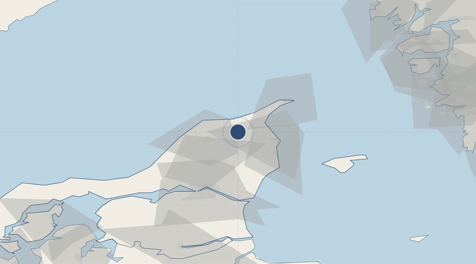
57.5035°, 10.2294°
3,934 ft
Longest runway
1
Runways
92 ft
Elevation
Runway & Layout

Radio Frequencies
APP
123.975 MHz
AALBORG APP
AFIS
118.75 MHz
Runways · 1
| Runway | Dimensions | Surface | True heading | Lit |
|---|---|---|---|---|
| 08/26 | 3,934 × 98ft | Asphalt | 086° | ✓ |
Airport Specifications
IATA code
CNL
ICAO code
EKSN
Airport class
Medium airport
Scheduled service
No
Runway surface
Asphalt
Served city
Sindal
Location
Nearby Logistics Neighbours
Airports
- 1Aalborg Airport51 km
- 2Læsø Airport53 km
- 3Säve Airport102 km
- 4Thisted Airport104 km
- 5Anholt Airfield120 km
Cities
- 1Aalbaek14 km
- 2Sæby26 km
- 3Brønderslev31 km
- 4Asaa41 km
- 5Langholt46 km
Ports
- 1Hirtshals19 km
- 2Frederikshavn21 km
- 3Skagen Havn32 km
- 4Alborg54 km
- 5Hals58 km
Trade Zones
DatabookThe Record of Consolidated Knowledge
Denmark beyond logistics?