Seaport · Denmark
FrederikshavnDKFDH
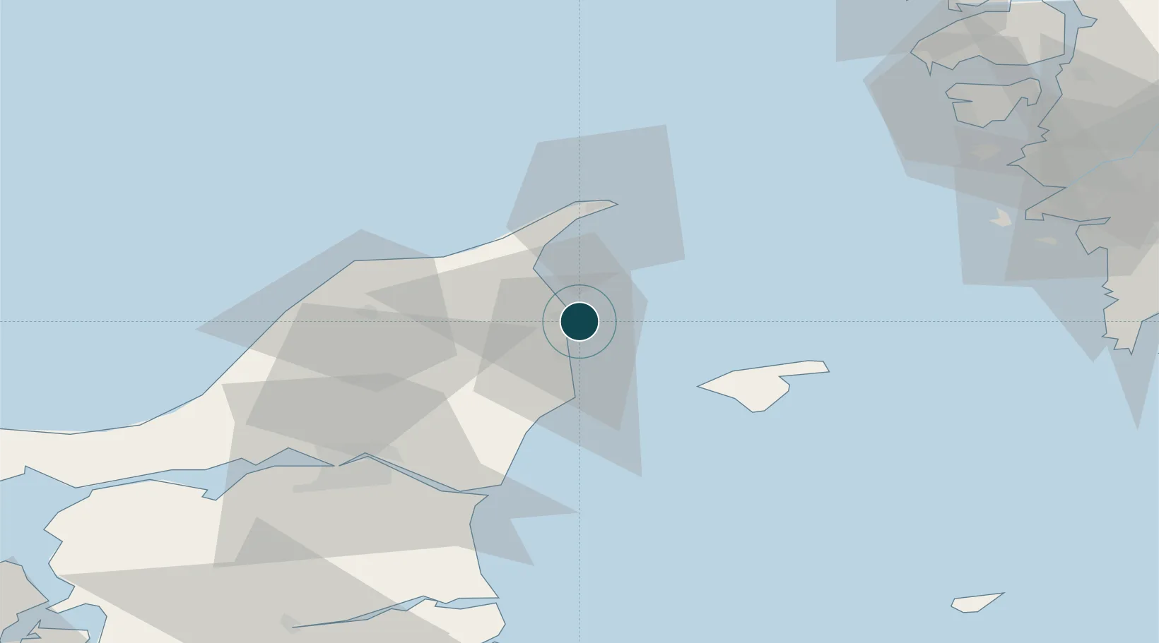
57.4333°, 10.5500°
7.9 m
Channel depth
9.1
Port liner connectivity
Channel & Berth Profile
Pilotage, Tugs & Services
Pilotage availableYES
Pilotage advisableYES
Local assistanceYES
Tug assistanceYES
Shore powerYES
Potable waterYES
MedicalYES
Garbage disposalYES
Facilities & Capabilities
ContainerNO
Ro-RoYES
Liquid bulkYES
Dry bulkYES
Oil terminalNO
Break bulkYES
Dry dockNO
RepairsNO
BunkeringYES
Rail linkYES
Dangerous cargo—
ISPS security—
Harbour Specifications
Harbour size
Small
Harbour type
Coastal (Breakwater)
Shelter
Good
Water body
Kattegat; North Atlantic Ocean
Tidal range
1 m
Liner Connectivity
9.1
PLSCI
Port Liner Shipping Connectivity Index for Frederikshavn, as published by UNCTAD for the latest available quarter. Higher values indicate stronger scheduled liner-shipping integration.
Shown relative to the highest per-port PLSCI in the dataset (1,657.9).
Location
Nearby Logistics Neighbours
Ports
- 1Skagen Havn32 km
- 2Hirtshals40 km
- 3Hals52 km
- 4Alborg57 km
- 5Marstrand80 km
Cities
- 1Sæby11 km
- 2Aalbaek19 km
- 3Asaa33 km
- 4Brønderslev41 km
- 5Langholt47 km
Airports
- 1Sindal Airport21 km
- 2Læsø Airport32 km
- 3Aalborg Airport57 km
- 4Säve Airport87 km
- 5Anholt Airfield102 km
Trade Zones
DatabookThe Record of Consolidated Knowledge
Denmark beyond logistics?