Seaport · Denmark
AlborgDKAAL
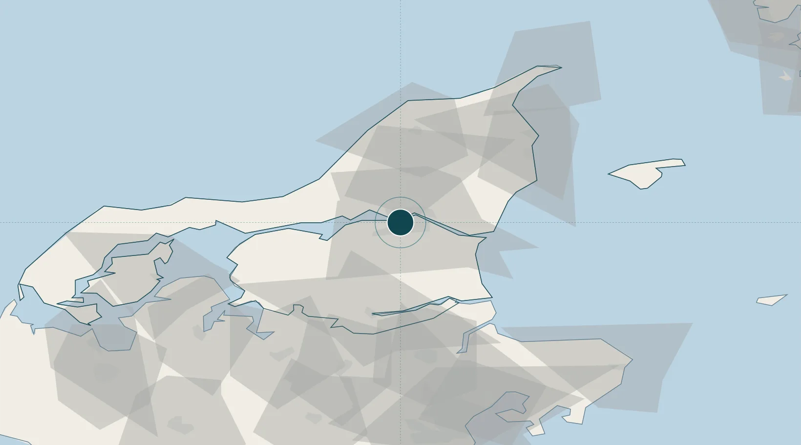
57.0500°, 9.9333°
9.4 m
Channel depth
1
Container terminals
11.8
Port liner connectivity
Channel & Berth Profile
Pilotage, Tugs & Services
Pilotage compulsoryYES
Pilotage availableYES
Pilotage advisableYES
Tug assistanceYES
Shore powerYES
Potable waterYES
Diesel bunkersYES
MedicalYES
Garbage disposalYES
Facilities & Capabilities
ContainerYES
Ro-RoYES
Liquid bulkYES
Dry bulkYES
Oil terminalNO
Break bulkYES
Dry dockNO
RepairsNO
BunkeringYES
Rail linkYES
Dangerous cargo—
ISPS security—
Harbour Specifications
Harbour size
Small
Harbour type
River (Natural)
Shelter
Good
Water body
Kattegat; North Atlantic Ocean
Tidal range
1 m
Overhead limit
Yes
Pilotage
Yes
Liner Connectivity
11.8
PLSCI
Port Liner Shipping Connectivity Index for Alborg, as published by UNCTAD for the latest available quarter. Higher values indicate stronger scheduled liner-shipping integration.
Shown relative to the highest per-port PLSCI in the dataset (1,657.9).
Location
Container Terminals · 1
AALBORG CONTAINER TERMINAL
DKACT AALBORG STEVEDORE COMPANY A/S
Nearby Logistics Neighbours
Ports
- 1Hals24 km
- 2Hadsund39 km
- 3Mariager45 km
- 4Hobro47 km
- 5Frederikshavn57 km
Cities
- 1Vestbjerg8 km
- 2Gistrup8 km
- 3Langholt11 km
- 4Åbybro16 km
- 5Brønderslev24 km
Airports
- 1Aalborg Airport7 km
- 2Sindal Airport54 km
- 3Læsø Airport69 km
- 4Skive Airport72 km
- 5Thisted Airport74 km
Trade Zones
- 1Gothenburg Boundless Customs Warehouse134 km
- 2Freeport of Copenhagen- Nordhavn221 km
- 3MTS Malmö Transport and Spedition253 km
- 4Jönköping Free Zone262 km
- 5Freeport of Kiel302 km
DatabookThe Record of Consolidated Knowledge
Denmark beyond logistics?