Transport Functions
Road
Multimodal
Hub Profile
Place type
Populated place
Region
North Denmark
Population
2,888
Time zone
Europe/Copenhagen
Elevation
24 m
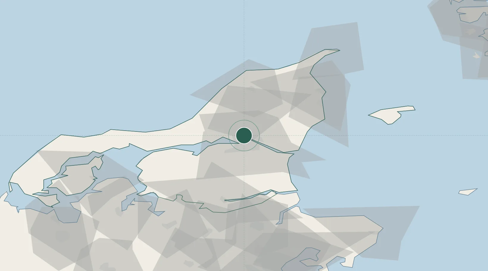
Location
Nearby Logistics Neighbours
Cities
- 1Langholt8 km
- 2Aalborg10 km
- 3Åbybro13 km
- 4Gistrup15 km
- 5Brønderslev17 km
Ports
- 1Alborg8 km
- 2Hals27 km
- 3Hadsund46 km
- 4Frederikshavn50 km
- 5Mariager52 km
Airports
- 1Aalborg Airport7 km
- 2Sindal Airport46 km
- 3Læsø Airport66 km
- 4Thisted Airport75 km
- 5Skive Airport79 km
Trade Zones
- 1Gothenburg Boundless Customs Warehouse129 km
- 2Freeport of Copenhagen- Nordhavn226 km
- 3MTS Malmö Transport and Spedition256 km
- 4Jönköping Free Zone258 km
- 5Freeport of Kiel310 km
DatabookThe Record of Consolidated Knowledge
Denmark beyond logistics?