Large airport · Denmark
Aalborg AirportEKYT
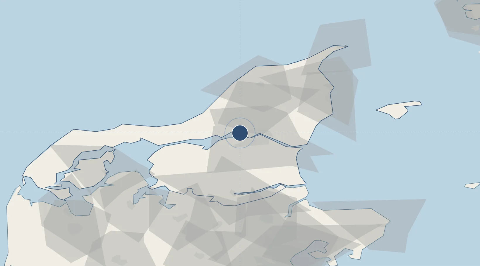
57.0948°, 9.8499°
8,707 ft
Longest runway
2
Runways
10 ft
Elevation
Runway & Layout

Radio Frequencies
ATIS
120.475 MHz
TWR
118.3 MHz
APP
123.975 MHz
MISC
131.55 MHz
HANDLING
Navaids
AAL TACAN Aalborg 116.70 MHz
AAL VOR-DME Aalborg 116.70 MHz
GL NDB Aalborg 398 kHz
Runways · 2
| Runway | Dimensions | Surface | True heading | Lit |
|---|---|---|---|---|
| 08L/26R | 8,707 × 148ft | Asphalt / concrete | 083° | ✓ |
| 08R/26L | 8,363 × 74ft | Asphalt | 083° | ✓ |
Airport Specifications
IATA code
AAL
ICAO code
EKYT
Airport class
Large airport
Scheduled service
Yes
Runway surface
Asphalt / concrete
Served city
Aalborg
Location
Nearby Logistics Neighbours
Airports
- 1Sindal Airport51 km
- 2Thisted Airport69 km
- 3Læsø Airport72 km
- 4Skive Airport73 km
- 5Midtjyllands Airport / Air Base Karup100 km
Trade Zones
- 1Gothenburg Boundless Customs Warehouse136 km
- 2Freeport of Copenhagen- Nordhavn229 km
- 3MTS Malmö Transport and Spedition260 km
- 4Jönköping Free Zone265 km
- 5Freeport of Kiel308 km
DatabookThe Record of Consolidated Knowledge
Denmark beyond logistics?