UN/LOCODE hub · Denmark
DKAAU

Langholt

57.1000°, 10.0833°
1
Transport functions

Transport Functions

Multimodal
UN/LOCODE

Hub Profile

Region
81
GeoNames

Location

Location of DKAAU
Natural Earth 10m (public domain) · 81 · DKAAU · 57.10, 10.08GoogleOSMYandex

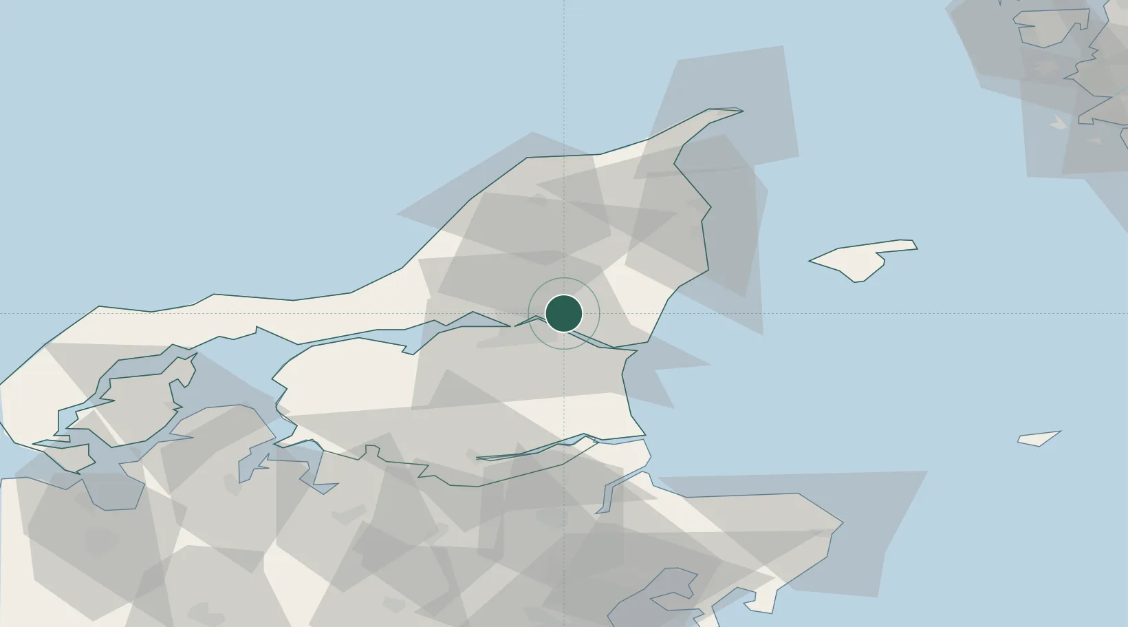
Nearby Logistics Neighbours

Cities
  1. 1Aalborg6 km
  2. 2Vestbjerg8 km
  3. 3Gistrup14 km
  4. 4Brønderslev20 km
  5. 5Åbybro21 km
Nearest neighbours — logibook spatial index (haversine) over the source coordinates
Ports
  1. 1Alborg11 km
  2. 2Hals19 km
  3. 3Hadsund43 km
  4. 4Frederikshavn47 km
  5. 5Mariager50 km
Nearest neighbours — logibook spatial index (haversine) over the source coordinates
Airports
  1. 1Aalborg Airport14 km
  2. 2Sindal Airport46 km
  3. 3Læsø Airport59 km
  4. 4Skive Airport83 km
  5. 5Thisted Airport83 km
Nearest neighbours — logibook spatial index (haversine) over the source coordinates
Trade Zones
  1. 1Gothenburg Boundless Customs Warehouse124 km
  2. 2Freeport of Copenhagen- Nordhavn218 km
  3. 3MTS Malmö Transport and Spedition249 km
  4. 4Jönköping Free Zone251 km
  5. 5Freeport of Kiel308 km
Nearest neighbours — logibook spatial index (haversine) over the source coordinates
DatabookThe Record of Consolidated Knowledge
Denmark beyond logistics?
Browse databook

All Sources

LocationsUN/LOCODE
UN/LOCODE — free
Portsthe NGA World Port Index
Public domain (US gov)
AirportsOurAirports
Public domain
Trade Zonesthe World Bank SEZ database
CC BY 4.0
Trade ZonesOpen Zone Map
CC BY
← Denmark locations