Small airport · Denmark
Anholt AirfieldEKAT
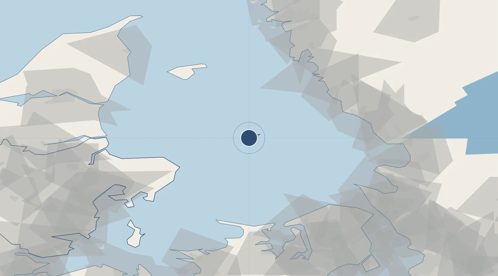
56.6983°, 11.5557°
2,133 ft
Longest runway
1
Runways
23 ft
Elevation
Runway & Layout

Runways · 1
| Runway | Dimensions | Surface | True heading | Lit |
|---|---|---|---|---|
| 03/21 | 2,133 × 66ft | grass | — | — |
Airport Specifications
ICAO code
EKAT
Airport class
Small airport
Scheduled service
Yes
Runway surface
grass
Served city
Anholt
Location
Nearby Logistics Neighbours
Airports
- 1Aarhus Airport72 km
- 2Læsø Airport73 km
- 3Halmstad Airport77 km
- 4Ängelholm-Helsingborg Airport91 km
- 5Aarhus Seaplane Terminal101 km
Cities
- 1Glommen55 km
- 2Glesborg56 km
- 3Nygård58 km
- 4Träslövsläge58 km
- 5Falkenberg61 km
Ports
- 1Nykobing (Mor)20 km
- 2Grenaa Havn49 km
- 3Falkenberg59 km
- 4Varberg61 km
- 5Halmstad80 km
Trade Zones
- 1Gothenburg Boundless Customs Warehouse113 km
- 2Freeport of Copenhagen- Nordhavn127 km
- 3MTS Malmö Transport and Spedition154 km
- 4Jönköping Free Zone194 km
- 5Freeport of Kiel277 km
DatabookThe Record of Consolidated Knowledge
Denmark beyond logistics?