Large airport · Denmark
Aarhus AirportEKAH
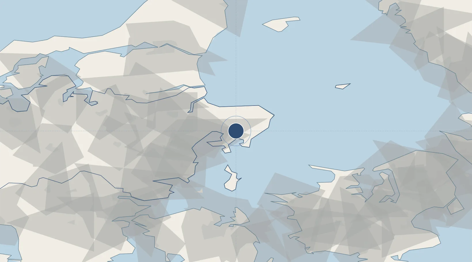
56.3033°, 10.6183°
9,111 ft
Longest runway
2
Runways
82 ft
Elevation
Runway & Layout

Radio Frequencies
TWR
118.525 MHz
APP
119.275 MHz
MISC
130.225 MHz
HANDLING
MISC
130.225 MHz
AIRPORT OFFICE
Navaids
ML NDB Aarhus 324 kHz
TU NDB Aarhus 374 kHz
Runways · 2
| Runway | Dimensions | Surface | True heading | Lit |
|---|---|---|---|---|
| 10L/28R | 9,111 × 75ft | Asphalt / concrete | 100° | ✓ |
| 10R/28L | 8,865 × 148ft | Asphalt / concrete | 100° | ✓ |
Airport Specifications
IATA code
AAR
ICAO code
EKAH
Airport class
Large airport
Scheduled service
Yes
Runway surface
Asphalt / concrete
Served city
Aarhus
Location
Nearby Logistics Neighbours
Airports
Ports
- 1Studstrup18 km
- 2Grenaa Havn23 km
- 3Arhus30 km
- 4Randers39 km
- 5Mariager55 km
Trade Zones
- 1Freeport of Copenhagen- Nordhavn140 km
- 2Gothenburg Boundless Customs Warehouse172 km
- 3MTS Malmö Transport and Spedition173 km
- 4Freeport of Kiel221 km
- 5Jönköping Free Zone266 km
DatabookThe Record of Consolidated Knowledge
Denmark beyond logistics?