Channel & Berth Profile
Pilotage, Tugs & Services
Pilotage compulsoryYES
Pilotage availableYES
Tug assistanceYES
Salvage tugsNO
Potable waterYES
Diesel bunkersYES
Facilities & Capabilities
Container—
Ro-Ro—
Liquid bulk—
Dry bulk—
Oil terminal—
Break bulk—
Dry dock—
Repairs—
BunkeringYES
Rail link—
Dangerous cargo—
ISPS security—
Harbour Specifications
Harbour size
Very Small
Harbour type
Coastal (Natural)
Shelter
Excellent
Water body
Kattegat; North Atlantic Ocean
Tidal range
1 m
Overhead limit
Yes
Pilotage
Yes
Liner Connectivity
10.6
PLSCI
Port Liner Shipping Connectivity Index for Mariager, as published by UNCTAD for the latest available quarter. Higher values indicate stronger scheduled liner-shipping integration.
Shown relative to the highest per-port PLSCI in the dataset (1,657.9).
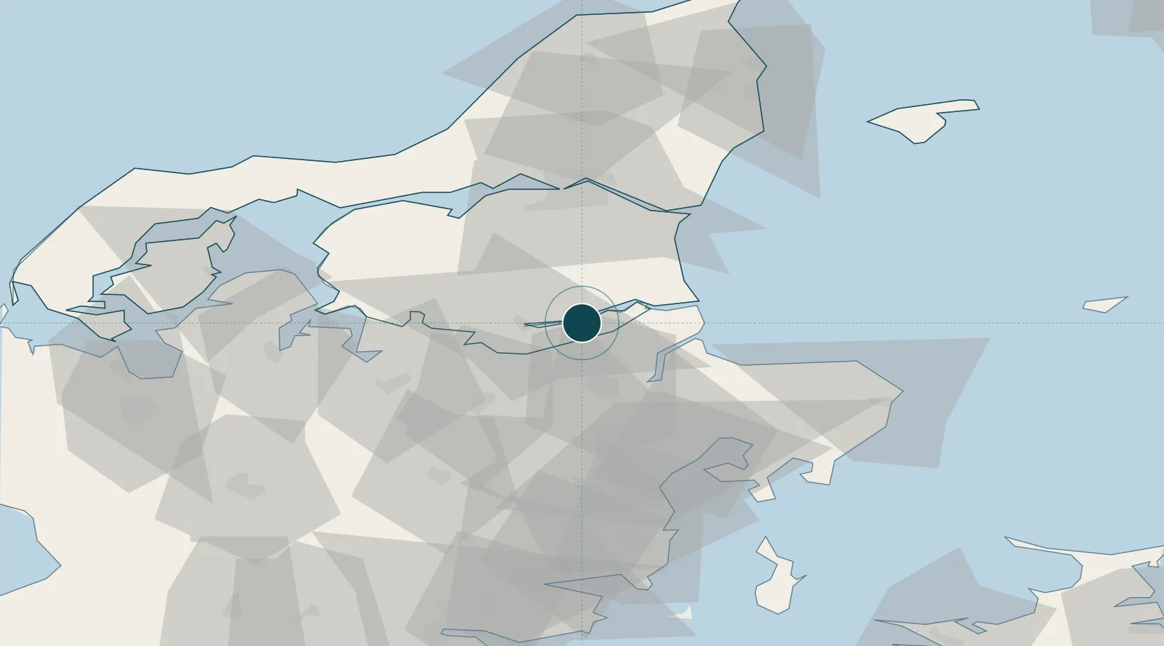
Location
Nearby Logistics Neighbours
Cities
- 1Maasholm4 km
- 2Kongsdal Harbour8 km
- 3Hadsund10 km
- 4Spentrup12 km
- 5Baelum20 km
Airports
- 1Aalborg Airport50 km
- 2Skive Airport51 km
- 3Aarhus Airport55 km
- 4Aarhus Seaplane Terminal58 km
- 5Midtjyllands Airport / Air Base Karup67 km
Trade Zones
- 1Gothenburg Boundless Customs Warehouse161 km
- 2Freeport of Copenhagen- Nordhavn193 km
- 3MTS Malmö Transport and Spedition225 km
- 4Freeport of Kiel258 km
- 5Jönköping Free Zone277 km
DatabookThe Record of Consolidated Knowledge
Denmark beyond logistics?