UN/LOCODE hub · Denmark
DKAAL
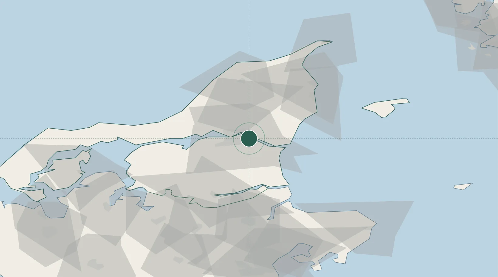
Aalborg
57.0476°, 10.0527°
142,937
Population
5
Transport functions
1
Container terminals
Transport Functions
Port
Rail
Road
Airport
Postal
Hub Profile
Place type
Regional capital
Region
North Denmark
Population
142,937
Time zone
Europe/Copenhagen
Elevation
10 m
Logistics facilities
2
Container terminals
1
Location
Nearby Logistics Neighbours
Ports
- 1Hals18 km
- 2Hadsund37 km
- 3Mariager44 km
- 4Hobro49 km
- 5Frederikshavn52 km
Airports
- 1Aalborg Airport13 km
- 2Sindal Airport52 km
- 3Læsø Airport63 km
- 4Skive Airport77 km
- 5Thisted Airport82 km
Trade Zones
- 1Gothenburg Boundless Customs Warehouse128 km
- 2Freeport of Copenhagen- Nordhavn216 km
- 3MTS Malmö Transport and Spedition247 km
- 4Jönköping Free Zone255 km
- 5Freeport of Kiel302 km
DatabookThe Record of Consolidated Knowledge
Denmark beyond logistics?