Transport Functions
Road
Multimodal
Hub Profile
Place type
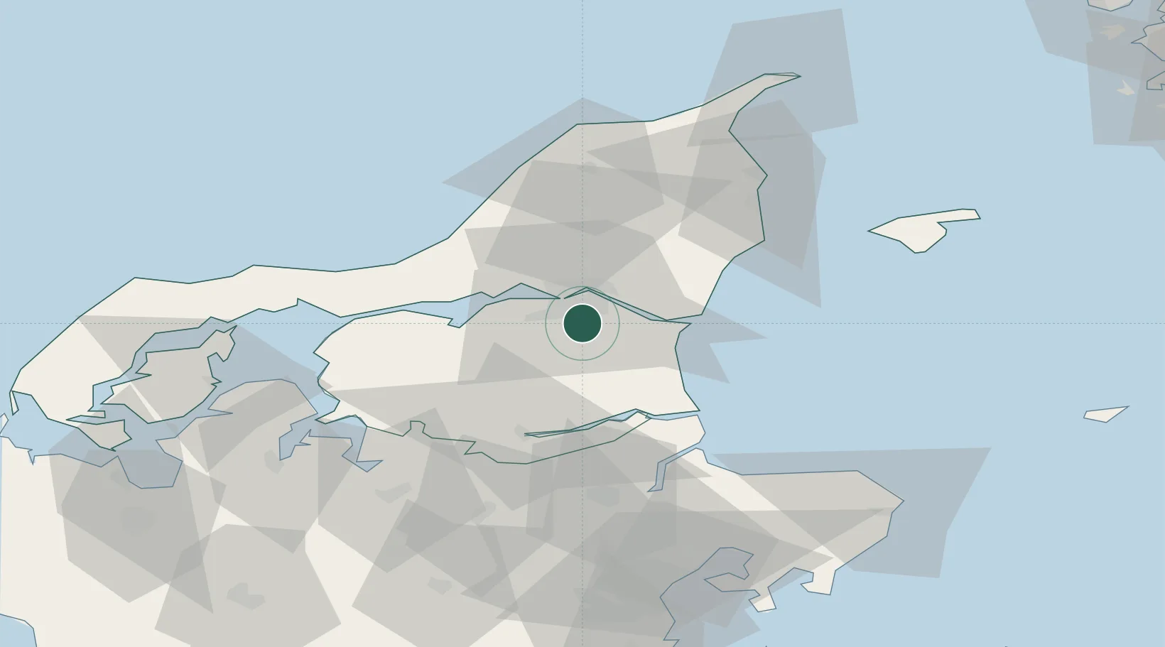
Populated place
Region
North Denmark
Population
3,664
Time zone
Europe/Copenhagen
Elevation
15 m
Location
Nearby Logistics Neighbours
Airports
- 1Aalborg Airport15 km
- 2Sindal Airport60 km
- 3Skive Airport69 km
- 4Læsø Airport70 km
- 5Thisted Airport78 km
Trade Zones
- 1Gothenburg Boundless Customs Warehouse136 km
- 2Freeport of Copenhagen- Nordhavn214 km
- 3MTS Malmö Transport and Spedition246 km
- 4Jönköping Free Zone261 km
- 5Freeport of Kiel295 km
DatabookThe Record of Consolidated Knowledge
Denmark beyond logistics?