Channel & Berth Profile
Pilotage, Tugs & Services
Pilotage compulsoryYES
Pilotage availableYES
Tug assistanceYES
Potable waterYES
MedicalYES
Facilities & Capabilities
ContainerNO
Ro-RoNO
Liquid bulkNO
Dry bulkYES
Oil terminalNO
Break bulkYES
Dry dock—
RepairsNO
BunkeringYES
Rail linkYES
Dangerous cargo—
ISPS security—
Harbour Specifications
Harbour size
Very Small
Harbour type
Coastal (Natural)
Shelter
Good
Water body
Kattegat; North Atlantic Ocean
Overhead limit
Yes
Pilotage
Yes
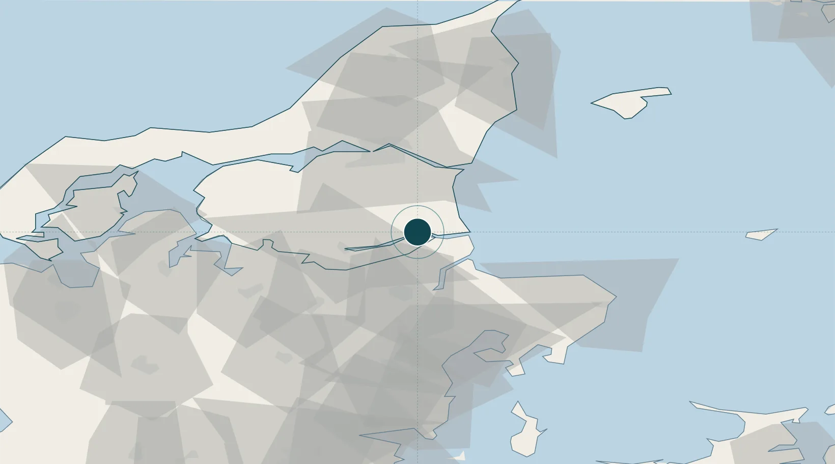
Location
Nearby Logistics Neighbours
Cities
- 1Kongsdal Harbour4 km
- 2Maasholm8 km
- 3Mariager10 km
- 4Baelum11 km
- 5Spentrup19 km
Airports
- 1Aalborg Airport45 km
- 2Aarhus Airport55 km
- 3Skive Airport61 km
- 4Aarhus Seaplane Terminal63 km
- 5Midtjyllands Airport / Air Base Karup78 km
Trade Zones
- 1Gothenburg Boundless Customs Warehouse150 km
- 2Freeport of Copenhagen- Nordhavn190 km
- 3MTS Malmö Transport and Spedition222 km
- 4Freeport of Kiel265 km
- 5Jönköping Free Zone266 km
DatabookThe Record of Consolidated Knowledge
Denmark beyond logistics?