Transport Functions
Port
Road
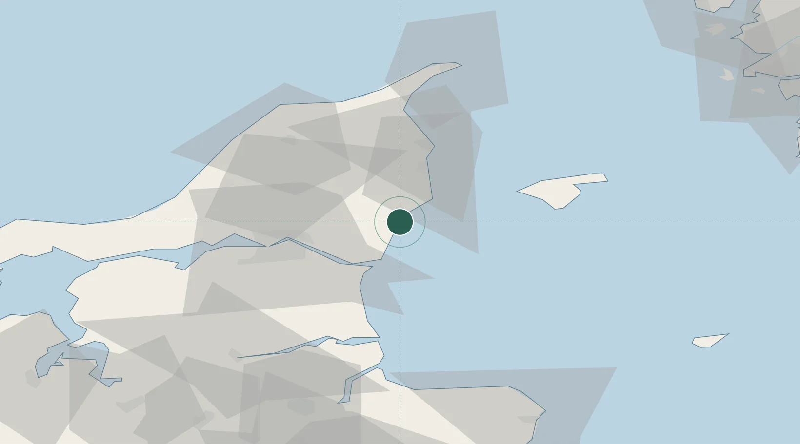
Location
Nearby Logistics Neighbours
Cities
- 1Langholt21 km
- 2Sæby22 km
- 3Aalborg25 km
- 4Vestbjerg28 km
- 5Brønderslev31 km
Ports
- 1Hals20 km
- 2Alborg31 km
- 3Frederikshavn33 km
- 4Hadsund52 km
- 5Hirtshals57 km
Airports
- 1Aalborg Airport35 km
- 2Læsø Airport38 km
- 3Sindal Airport41 km
- 4Anholt Airfield85 km
- 5Aarhus Airport95 km
Trade Zones
- 1Gothenburg Boundless Customs Warehouse104 km
- 2Freeport of Copenhagen- Nordhavn209 km
- 3Jönköping Free Zone230 km
- 4MTS Malmö Transport and Spedition238 km
- 5Freeport of Kiel314 km
DatabookThe Record of Consolidated Knowledge
Denmark beyond logistics?