Transport Functions
Port
Road
Multimodal
Hub Profile
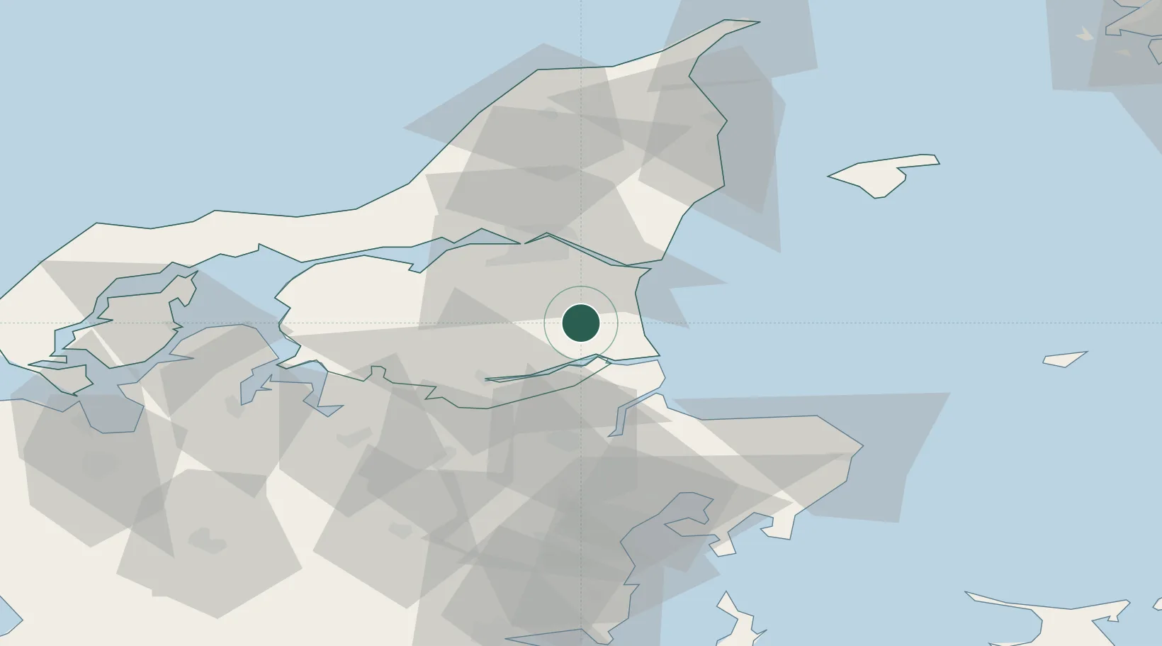
Place type
Populated place
Region
North Denmark
Population
722
Time zone
Europe/Copenhagen
Elevation
28 m
Location
Nearby Logistics Neighbours
Cities
- 1Hadsund11 km
- 2Kongsdal Harbour13 km
- 3Maasholm16 km
- 4Mariager20 km
- 5Gistrup20 km
Airports
- 1Aalborg Airport34 km
- 2Skive Airport64 km
- 3Aarhus Airport65 km
- 4Aarhus Seaplane Terminal74 km
- 5Læsø Airport75 km
Trade Zones
- 1Gothenburg Boundless Customs Warehouse143 km
- 2Freeport of Copenhagen- Nordhavn197 km
- 3MTS Malmö Transport and Spedition229 km
- 4Jönköping Free Zone262 km
- 5Freeport of Kiel276 km
DatabookThe Record of Consolidated Knowledge
Denmark beyond logistics?