Channel & Berth Profile
Pilotage, Tugs & Services
Pilotage compulsoryNO
Pilotage availableNO
Pilotage advisableNO
Local assistanceNO
Tug assistanceNO
Salvage tugsNO
Potable waterYES
Diesel bunkersYES
MedicalNO
Garbage disposalNO
Facilities & Capabilities
ContainerNO
Ro-RoNO
Liquid bulkNO
Dry bulkNO
Oil terminalNO
Break bulkYES
Dry dock—
Repairs—
Bunkering—
Rail linkYES
Dangerous cargo—
ISPS security—
Harbour Specifications
Harbour size
Small
Harbour type
River (Basins)
Shelter
Good
Water body
Baltic Sea; North Atlantic Ocean
Tidal range
1 m
Overhead limit
Yes
Pilotage
No
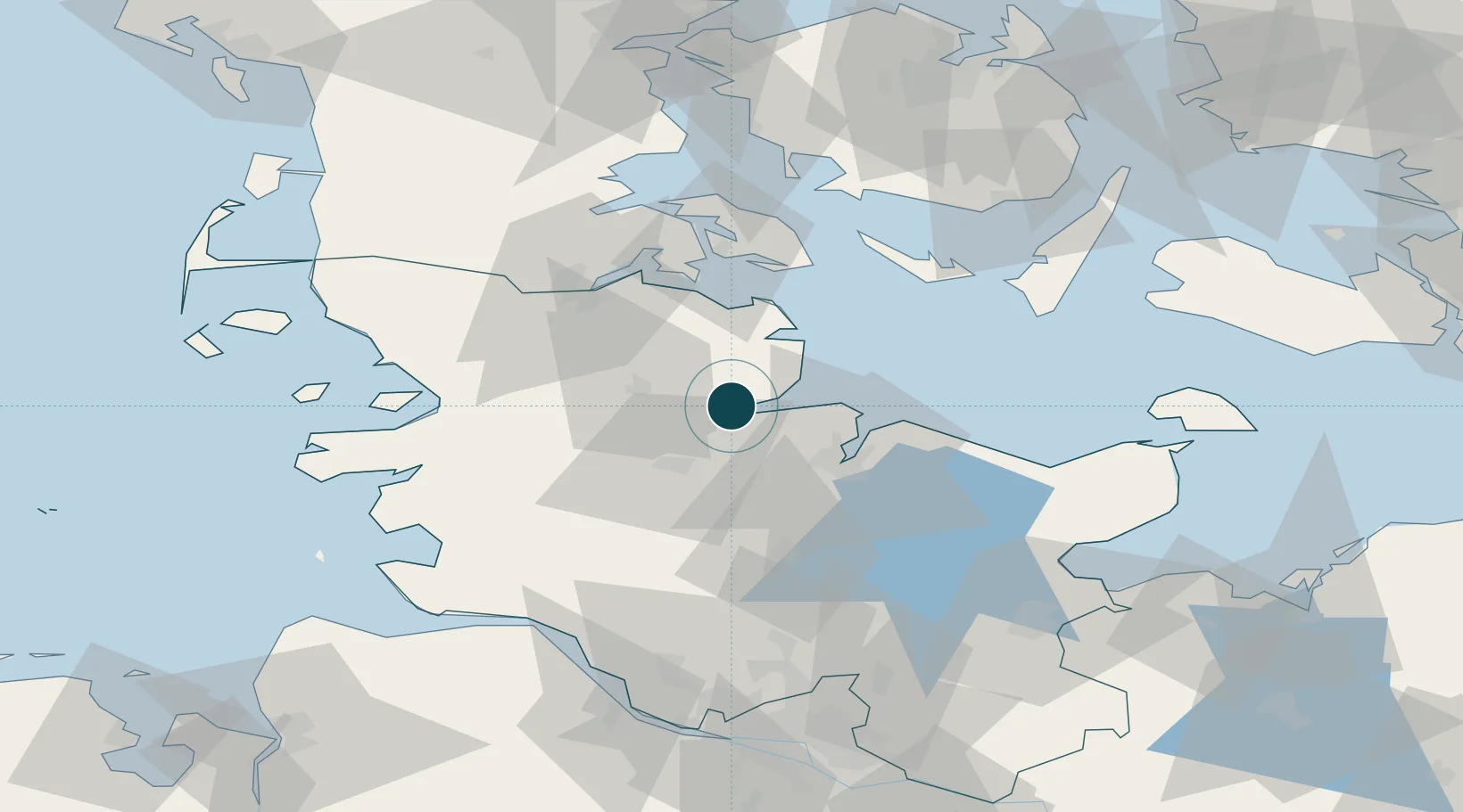
Location
Nearby Logistics Neighbours
Ports
- 1Kappeln21 km
- 2Rendsburg23 km
- 3Kiel27 km
- 4Flensburg44 km
- 5Sonderborg48 km
Cities
- 1Hallig12 km
- 2Ahlefeld-Bistensee14 km
- 3Borgstedt18 km
- 4Bredenbek (Rendsburg)19 km
- 5Audorf20 km
Airports
- 1Schleswig Air Base21 km
- 2Kiel-Holtenau Airport23 km
- 3Hohn Air Base27 km
- 4Sønderborg Airport54 km
- 5Ærø Airfield57 km
Trade Zones
DatabookThe Record of Consolidated Knowledge
Germany beyond logistics?