Channel & Berth Profile
Pilotage, Tugs & Services
Pilotage compulsoryNO
Pilotage availableYES
Pilotage advisableYES
Tug assistanceYES
Salvage tugsYES
Potable waterYES
Diesel bunkersYES
MedicalYES
Facilities & Capabilities
ContainerNO
Ro-RoNO
Liquid bulkNO
Dry bulkNO
Oil terminalNO
Break bulkYES
Dry dock—
RepairsNO
BunkeringYES
Rail linkYES
Dangerous cargo—
ISPS security—
Harbour Specifications
Harbour size
Small
Harbour type
River (Natural)
Shelter
Good
Water body
Baltic Sea; North Atlantic Ocean
Tidal range
1 m
Overhead limit
Yes
Pilotage
No
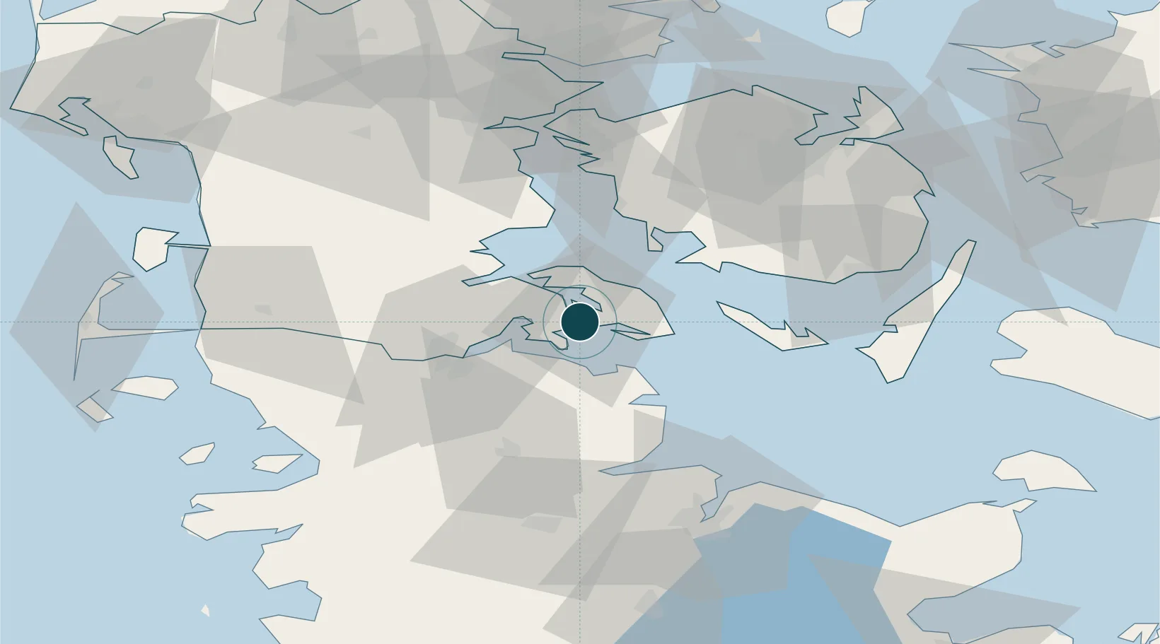
Location
Nearby Logistics Neighbours
Ports
- 1Augustenborg7 km
- 2Ensted25 km
- 3Flensburg26 km
- 4Abenra27 km
- 5Kappeln29 km
Cities
- 1Sydals7 km
- 2Fynshav13 km
- 3Langballig16 km
- 4Glücksburg18 km
- 5Enstedværket Havn25 km
Airports
- 1Sønderborg Airport5 km
- 2Ærø Airfield44 km
- 3Skrydstrup Air Base47 km
- 4Sydfyn (Tasinge) Airfield51 km
- 5Schleswig Air Base54 km
Trade Zones
DatabookThe Record of Consolidated Knowledge
Denmark beyond logistics?