UN/LOCODE hub · Germany
DESBK

Bredenbek (Rendsburg)

54.3167°, 9.8667°
2
Transport functions

Transport Functions

Rail
Road
UN/LOCODE

Hub Profile

Region
SH
GeoNames

Location

Location of DESBK
Natural Earth 10m (public domain) · SH · DESBK · 54.32, 9.87GoogleOSMYandex

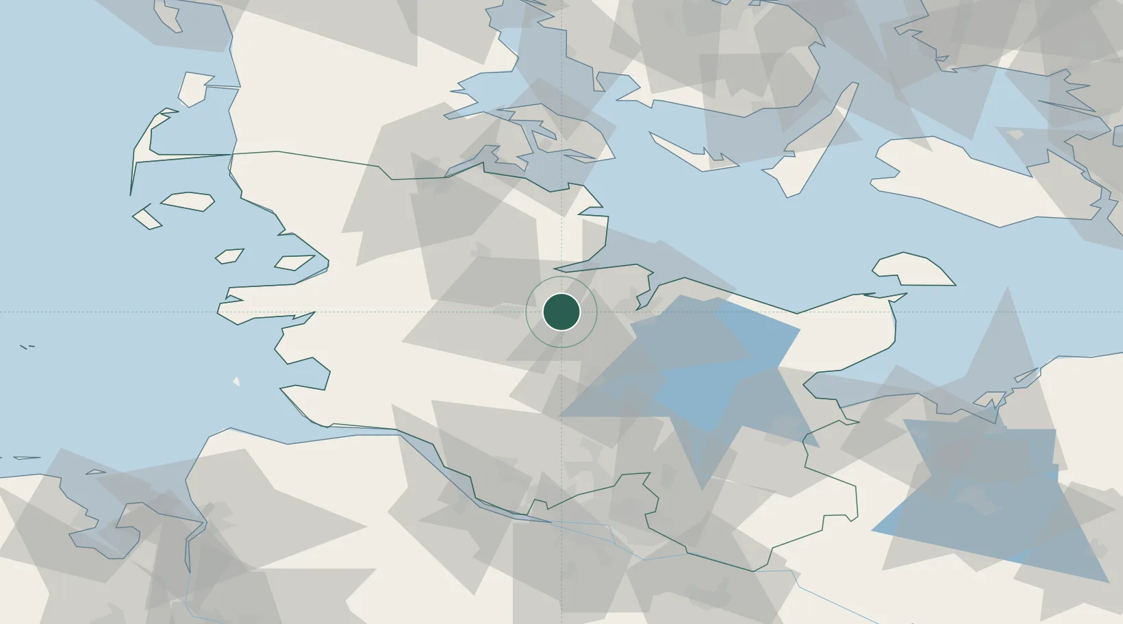
Nearby Logistics Neighbours

Cities
  1. 1Achterwehr7 km
  2. 2Audorf10 km
  3. 3Borgstedt10 km
  4. 4Osterrönfeld11 km
  5. 5Obereiderhafen13 km
Nearest neighbours — logibook spatial index (haversine) over the source coordinates
Ports
  1. 1Rendsburg12 km
  2. 2Kiel17 km
  3. 3Eckernforde19 km
  4. 4Kappeln39 km
  5. 5Itzehoe50 km
Nearest neighbours — logibook spatial index (haversine) over the source coordinates
Airports
  1. 1Kiel-Holtenau Airport19 km
  2. 2Hohn Air Base21 km
  3. 3Schleswig Air Base28 km
  4. 4Heide-Büsum Airport65 km
  5. 5Ærø Airfield71 km
Nearest neighbours — logibook spatial index (haversine) over the source coordinates
Trade Zones
  1. 1Freeport of Kiel20 km
  2. 2Freeport of Cuxhaven (Freihafen Cuxhaven)101 km
  3. 3Freeport of Bremerhaven (Freihafen Bremerhaven)154 km
  4. 4Freeport of Emden207 km
  5. 5Freeport of Copenhagen- Nordhavn234 km
Nearest neighbours — logibook spatial index (haversine) over the source coordinates
DatabookThe Record of Consolidated Knowledge
Germany beyond logistics?
Browse databook

All Sources

LocationsUN/LOCODE
UN/LOCODE — free
Portsthe NGA World Port Index
Public domain (US gov)
AirportsOurAirports
Public domain
Trade Zonesthe World Bank SEZ database
CC BY 4.0
Trade ZonesOpen Zone Map
CC BY
← Germany locations