Transport Functions
Port
Hub Profile
Region
SH
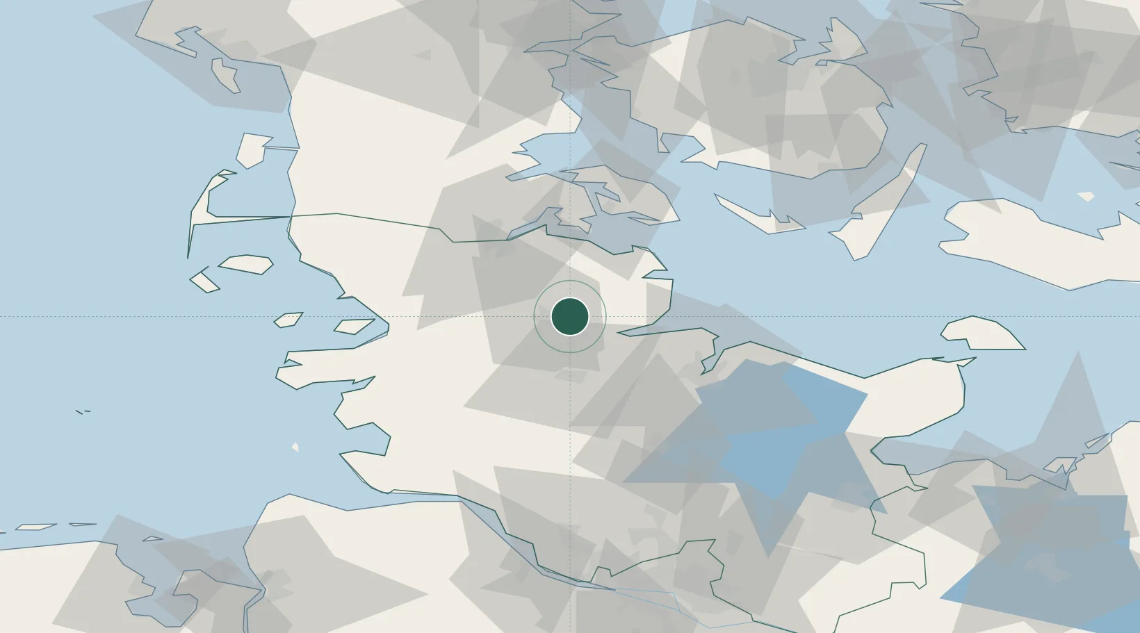
Location
Nearby Logistics Neighbours
Cities
- 1Dannewerk13 km
- 2Ahlefeld-Bistensee15 km
- 3Jübek17 km
- 4Borgstedt23 km
- 5Audorf24 km
Ports
- 1Eckernforde12 km
- 2Kappeln23 km
- 3Rendsburg26 km
- 4Flensburg33 km
- 5Kiel39 km
Airports
- 1Schleswig Air Base13 km
- 2Hohn Air Base26 km
- 3Kiel-Holtenau Airport35 km
- 4Sønderborg Airport49 km
- 5Ærø Airfield62 km
Trade Zones
DatabookThe Record of Consolidated Knowledge
Germany beyond logistics?