Seaport · Germany

KielDEKEL

54.3167°, 10.1333°
11.0 m
Channel depth
18.4
Port liner connectivity
Kiel is also a UN/LOCODE logistics hub →

Channel & Berth Profile

SEA LEVEL (CD)CHANNEL BEDCargo pier · 4.9 mOil terminal · 4.9 mAnchorage · 6.4 mChannel · 11.0 m
NGA World Port Index

Pilotage, Tugs & Services

Pilotage compulsoryYES
Pilotage availableYES
Pilotage advisableYES
Tug assistanceYES
Salvage tugsYES
Shore powerYES
Potable waterYES
Diesel bunkersYES
MedicalYES
Garbage disposalYES
NGA World Port Index

Facilities & Capabilities

ContainerYES
Ro-RoYES
Liquid bulkYES
Dry bulkYES
Oil terminalNO
Break bulkYES
Dry dockNO
RepairsNO
BunkeringYES
Rail linkYES
Dangerous cargo
ISPS security
NGA World Port Index

Harbour Specifications

Harbour size
Large
NGA World Port Index
Harbour type
River (Basins)
NGA World Port Index
Shelter
Good
NGA World Port Index
Water body
Baltic Sea; North Atlantic Ocean
NGA World Port Index
Overhead limit
Yes
NGA World Port Index
Pilotage
Yes
NGA World Port Index

Liner Connectivity

18.4
PLSCI

Port Liner Shipping Connectivity Index for Kiel, as published by UNCTAD for the latest available quarter. Higher values indicate stronger scheduled liner-shipping integration.

Shown relative to the highest per-port PLSCI in the dataset (1,657.9).
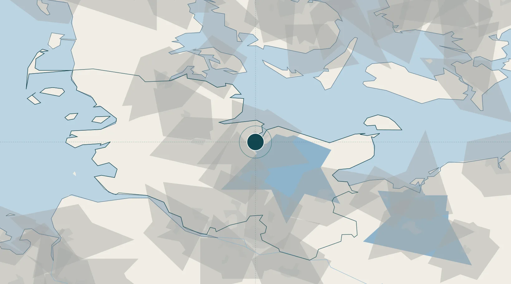
UNCTAD · Port Liner Shipping Connectivity Index

Location

Location of DEKEL
Natural Earth 10m (public domain) · Schleswig-Holstein · DEKEL · 54.32, 10.13GoogleOSMYandex

Nearby Logistics Neighbours

Ports
  1. 1Eckernforde27 km
  2. 2Rendsburg29 km
  3. 3Kappeln41 km
  4. 4Neustadt51 km
  5. 5Heiligenhafen55 km
Nearest neighbours — logibook spatial index (haversine) over the source coordinates
Cities
  1. 1Ellerbek4 km
  2. 2Kronshagen4 km
  3. 3Schönkirchen6 km
  4. 4Schwentinental8 km
  5. 5Flintbek9 km
Nearest neighbours — logibook spatial index (haversine) over the source coordinates
Airports
  1. 1Kiel-Holtenau Airport7 km
  2. 2Hohn Air Base39 km
  3. 3Schleswig Air Base43 km
  4. 4Ærø Airfield63 km
  5. 5Lübeck Blankensee Airport69 km
Nearest neighbours — logibook spatial index (haversine) over the source coordinates
Trade Zones
  1. 1Freeport of Kiel3 km
  2. 2Freeport of Cuxhaven (Freihafen Cuxhaven)116 km
  3. 3Freeport of Bremerhaven (Freihafen Bremerhaven)163 km
  4. 4Freeport of Copenhagen- Nordhavn221 km
  5. 5Freeport of Emden222 km
Nearest neighbours — logibook spatial index (haversine) over the source coordinates
DatabookThe Record of Consolidated Knowledge
Germany beyond logistics?
Browse databook

All Sources

Portsthe NGA World Port Index
Public domain (US gov)
Logistics performanceUNCTAD
CC BY 3.0 IGO
AirportsOurAirports
Public domain
LocationsUN/LOCODE
UN/LOCODE — free
Trade Zonesthe World Bank SEZ database
CC BY 4.0
Trade ZonesOpen Zone Map
CC BY
← Germany ports