Runway & Layout

Airport Specifications
ICAO code
EKAE
Airport class
Small airport
Scheduled service
Yes
Served city
Marstal
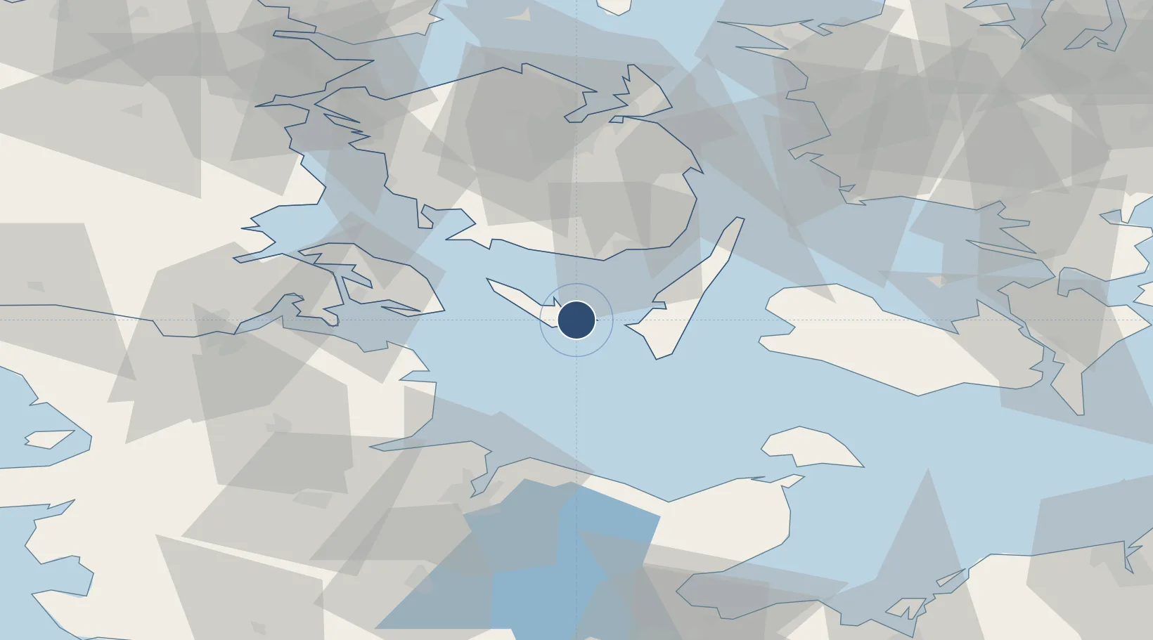
Location
Nearby Logistics Neighbours
Airports
Cities
- 1Avernak By23 km
- 2Troense24 km
- 3Fynshav34 km
- 4Hasselberg34 km
- 5Oure34 km
Ports
- 1Marstal11 km
- 2Rudkobing20 km
- 3Svendborg26 km
- 4Faborg31 km
- 5Augustenborg39 km
Trade Zones
DatabookThe Record of Consolidated Knowledge
Denmark beyond logistics?