Channel & Berth Profile
Pilotage, Tugs & Services
Pilotage compulsoryYES
Pilotage availableYES
Pilotage advisableYES
Tug assistanceYES
Salvage tugsNO
Shore powerYES
Potable waterYES
Diesel bunkersYES
MedicalYES
Garbage disposalYES
Facilities & Capabilities
ContainerNO
Ro-RoYES
Liquid bulkYES
Dry bulkYES
Oil terminalNO
Break bulkYES
Dry dock—
RepairsNO
BunkeringYES
Rail linkYES
Dangerous cargo—
ISPS security—
Harbour Specifications
Harbour size
Small
Harbour type
River (Basins)
Shelter
Good
Water body
Baltic Sea; North Atlantic Ocean
Tidal range
2 m
Overhead limit
Yes
Pilotage
Yes
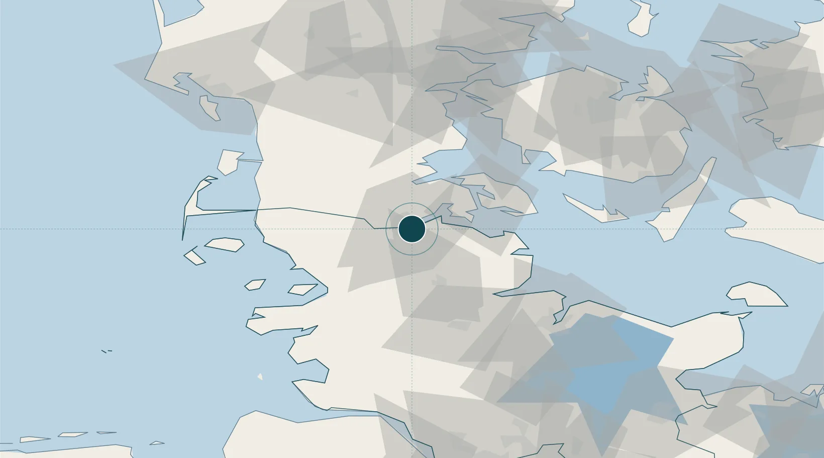
Location
Nearby Logistics Neighbours
Ports
- 1Ensted24 km
- 2Sonderborg26 km
- 3Abenra28 km
- 4Augustenborg32 km
- 5Kappeln35 km
Cities
- 1Padborg6 km
- 2Jarplund7 km
- 3Glücksburg8 km
- 4Langballig13 km
- 5Enstedværket Havn24 km
Airports
- 1Sønderborg Airport29 km
- 2Schleswig Air Base38 km
- 3Skrydstrup Air Base48 km
- 4Hohn Air Base55 km
- 5Kiel-Holtenau Airport66 km
Trade Zones
DatabookThe Record of Consolidated Knowledge
Germany beyond logistics?