UN/LOCODE hub · Germany
DEAQH

Ahlefeld-Bistensee

54.4000°, 9.6667°
1
Transport functions

Transport Functions

Multimodal
UN/LOCODE

Hub Profile

Region
SH
GeoNames

Location

Location of DEAQH
Natural Earth 10m (public domain) · SH · DEAQH · 54.40, 9.67GoogleOSMYandex

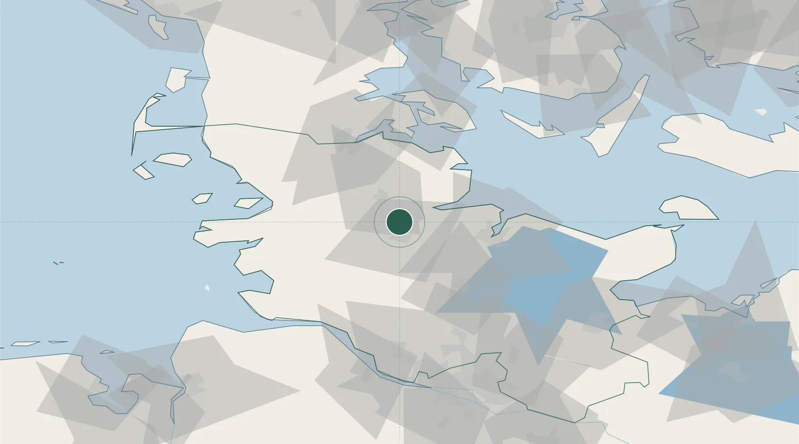
Nearby Logistics Neighbours

Cities
  1. 1Borgstedt8 km
  2. 2Audorf10 km
  3. 3Obereiderhafen11 km
  4. 4Büdelsdorf11 km
  5. 5Dannewerk13 km
Nearest neighbours — logibook spatial index (haversine) over the source coordinates
Ports
  1. 1Rendsburg11 km
  2. 2Eckernforde14 km
  3. 3Kiel32 km
  4. 4Kappeln34 km
  5. 5Husum41 km
Nearest neighbours — logibook spatial index (haversine) over the source coordinates
Airports
  1. 1Schleswig Air Base12 km
  2. 2Hohn Air Base13 km
  3. 3Kiel-Holtenau Airport31 km
  4. 4Heide-Büsum Airport57 km
  5. 5Sønderborg Airport63 km
Nearest neighbours — logibook spatial index (haversine) over the source coordinates
Trade Zones
  1. 1Freeport of Kiel34 km
  2. 2Freeport of Cuxhaven (Freihafen Cuxhaven)96 km
  3. 3Freeport of Bremerhaven (Freihafen Bremerhaven)157 km
  4. 4Freeport of Emden201 km
  5. 5Freeport of Copenhagen- Nordhavn237 km
Nearest neighbours — logibook spatial index (haversine) over the source coordinates
DatabookThe Record of Consolidated Knowledge
Germany beyond logistics?
Browse databook

All Sources

LocationsUN/LOCODE
UN/LOCODE — free
Portsthe NGA World Port Index
Public domain (US gov)
AirportsOurAirports
Public domain
Trade Zonesthe World Bank SEZ database
CC BY 4.0
Trade ZonesOpen Zone Map
CC BY
← Germany locations