Medium airport · Germany

Schleswig Air BaseETNS
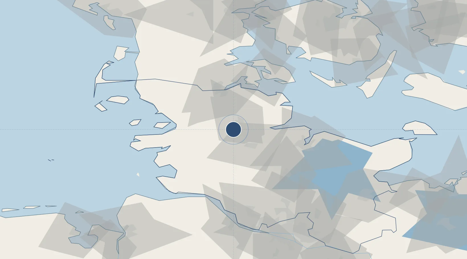
54.4593°, 9.5163°
8,003 ft
Longest runway
2
Runways
70 ft
Elevation

Runway & Layout

Schleswig Air Base runway & taxiway layout
Runway & taxiway layout — OpenStreetMap (ODbL) / OurAirports

Radio Frequencies

TWR
122.1 MHz
A/D
31.347 MHz
RADAR
A/D
123.3 MHz
RADAR
ACC
128.775 MHz
BREMEN CON
AFIS
125.1 MHz
BREMEN INFO
OurAirports

Navaids

SWG TACAN Schleswig 111.80 MHz
OurAirports

Runways · 2

RunwayDimensions SurfaceTrue headingLit
05/23 8,003 × 98ft Asphalt 048°
07/25 6,554 × 148ft Asphalt 074°
OurAirports

Airport Specifications

IATA code
WBG
OurAirports
ICAO code
ETNS
OurAirports
Airport class
Medium airport
OurAirports
Scheduled service
No
OurAirports
Runway surface
Asphalt
OurAirports
Served city
Jagel
OurAirports

Location

Location of ETNS
Natural Earth 10m (public domain) · Schleswig-Holstein · ETNS · 54.46, 9.52GoogleOSMYandex

Nearby Logistics Neighbours

Airports
  1. 1Hohn Air Base16 km
  2. 2Kiel-Holtenau Airport42 km
  3. 3Heide-Büsum Airport52 km
  4. 4Sønderborg Airport59 km
  5. 5Ærø Airfield75 km
Nearest neighbours — logibook spatial index (haversine) over the source coordinates
Cities
  1. 1Dannewerk1 km
  2. 2Ahlefeld-Bistensee12 km
  3. 3Jübek13 km
  4. 4Hallig13 km
  5. 5Kollund Mole15 km
Nearest neighbours — logibook spatial index (haversine) over the source coordinates
Ports
  1. 1Eckernforde21 km
  2. 2Rendsburg21 km
  3. 3Husum30 km
  4. 4Kappeln35 km
  5. 5Flensburg38 km
Nearest neighbours — logibook spatial index (haversine) over the source coordinates
Trade Zones
  1. 1Freeport of Kiel45 km
  2. 2Freeport of Cuxhaven (Freihafen Cuxhaven)94 km
  3. 3Freeport of Bremerhaven (Freihafen Bremerhaven)160 km
  4. 4Freeport of Emden197 km
  5. 5Freeport of Copenhagen- Nordhavn241 km
Nearest neighbours — logibook spatial index (haversine) over the source coordinates
DatabookThe Record of Consolidated Knowledge
Germany beyond logistics?
Browse databook

All Sources

AirportsOurAirports
Public domain
Portsthe NGA World Port Index
Public domain (US gov)
LocationsUN/LOCODE
UN/LOCODE — free
Trade Zonesthe World Bank SEZ database
CC BY 4.0
Trade ZonesOpen Zone Map
CC BY
InfrastructureOpenStreetMap
ODbL 1.0
← Germany airports