Transport Functions
Port
Road
Multimodal
Hub Profile
Place type
Local administrative seat
Region
Schleswig-Holstein
Population
1,446
Time zone
Europe/Berlin
Elevation
15 m
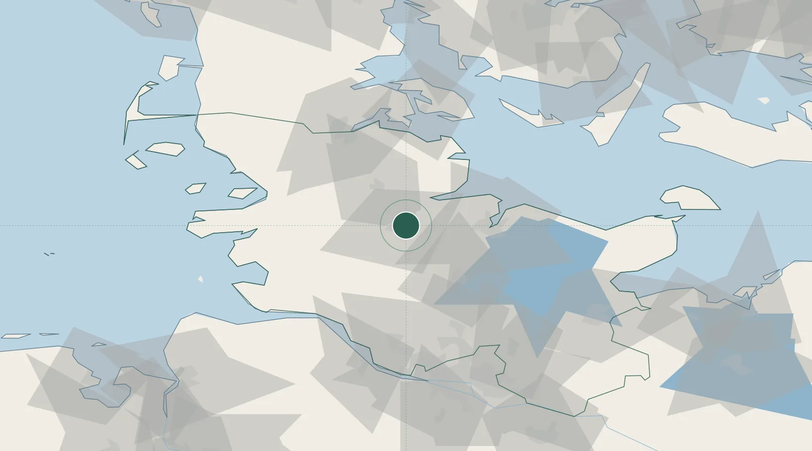
Location
Nearby Logistics Neighbours
Cities
- 1Audorf2 km
- 2Obereiderhafen5 km
- 3Osterrönfeld6 km
- 4Büdelsdorf6 km
- 5Ahlefeld-Bistensee8 km
Ports
- 1Rendsburg4 km
- 2Eckernforde18 km
- 3Kiel27 km
- 4Kappeln40 km
- 5Husum46 km
Airports
- 1Hohn Air Base12 km
- 2Schleswig Air Base19 km
- 3Kiel-Holtenau Airport28 km
- 4Heide-Büsum Airport57 km
- 5Sønderborg Airport70 km
Trade Zones
DatabookThe Record of Consolidated Knowledge
Germany beyond logistics?