Transport Functions
Port
Hub Profile
Place type
Urban district
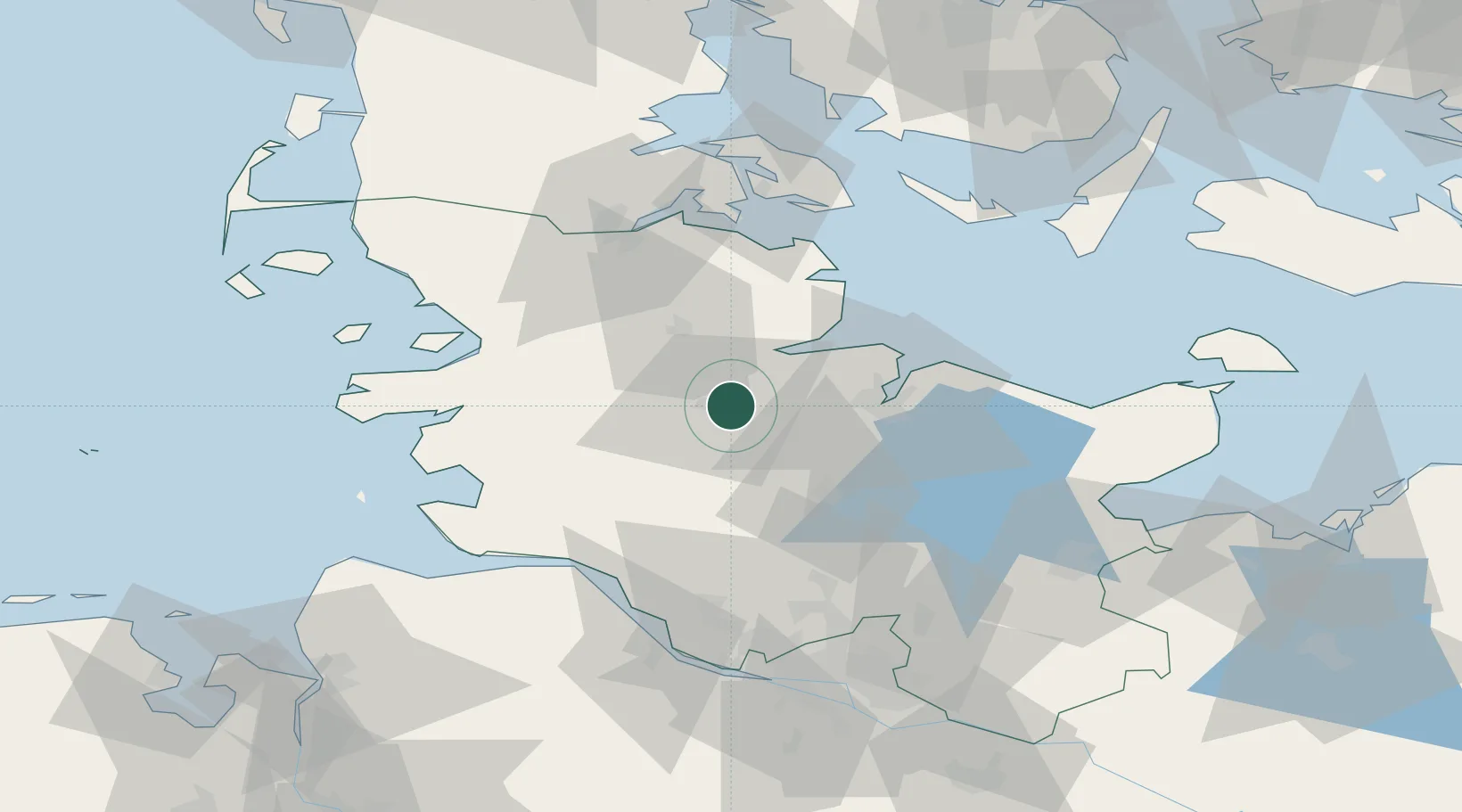
Region
Schleswig-Holstein
Time zone
Europe/Berlin
Elevation
15 m
Location
Nearby Logistics Neighbours
Cities
- 1Borgstedt2 km
- 2Obereiderhafen4 km
- 3Osterrönfeld4 km
- 4Büdelsdorf5 km
- 5Bredenbek (Rendsburg)10 km
Ports
- 1Rendsburg3 km
- 2Eckernforde20 km
- 3Kiel27 km
- 4Kappeln41 km
- 5Itzehoe46 km
Airports
- 1Hohn Air Base12 km
- 2Schleswig Air Base21 km
- 3Kiel-Holtenau Airport29 km
- 4Heide-Büsum Airport56 km
- 5Sønderborg Airport72 km
Trade Zones
DatabookThe Record of Consolidated Knowledge
Germany beyond logistics?