Seaport · Germany
CuxhavenDECUX
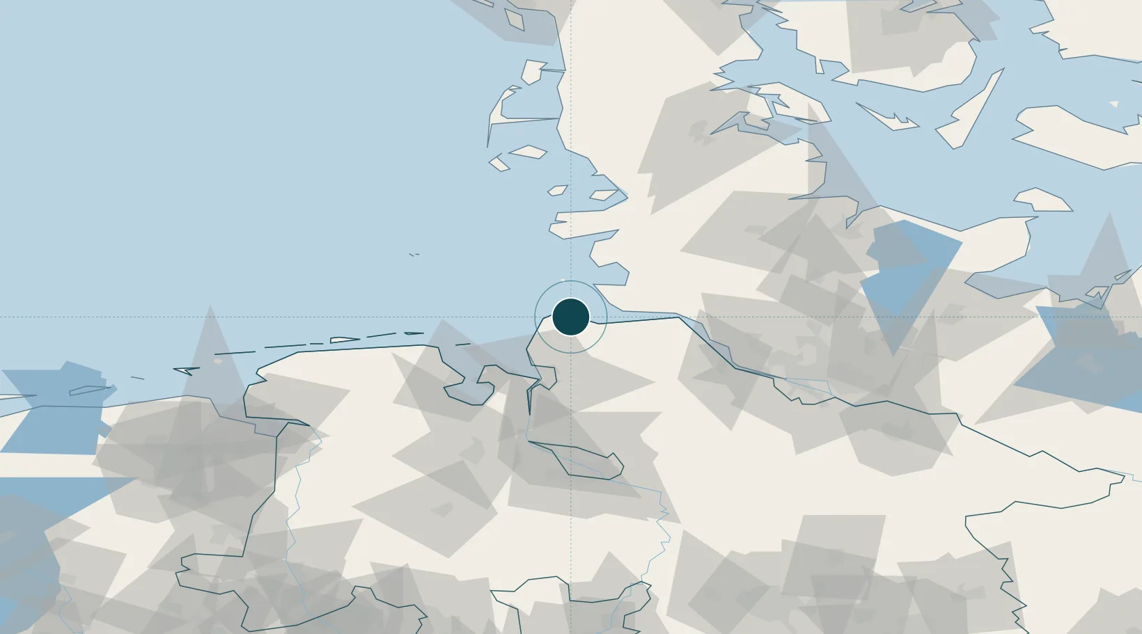
53.8667°, 8.7167°
14.0 m
Channel depth
1
Container terminals
14.5
Port liner connectivity
Channel & Berth Profile
Pilotage, Tugs & Services
Pilotage compulsoryYES
Pilotage availableYES
Pilotage advisableYES
Tug assistanceYES
Potable waterYES
Diesel bunkersYES
MedicalYES
Garbage disposalYES
Facilities & Capabilities
Container—
Ro-Ro—
Liquid bulk—
Dry bulk—
Oil terminal—
Break bulk—
Dry dock—
RepairsNO
BunkeringYES
Rail linkYES
Dangerous cargo—
ISPS security—
Harbour Specifications
Harbour size
Medium
Harbour type
River (Basins)
Shelter
Good
Water body
North Sea; North Atlantic Ocean
Tidal range
3 m
Pilotage
Yes
Liner Connectivity
14.5
PLSCI
Port Liner Shipping Connectivity Index for Cuxhaven, as published by UNCTAD for the latest available quarter. Higher values indicate stronger scheduled liner-shipping integration.
Shown relative to the highest per-port PLSCI in the dataset (1,657.9).
Location
Container Terminals · 1
CUXPORT EUROPAKAI CUXHAVEN
CXP CUXPORT GMBH
Nearby Logistics Neighbours
Ports
- 1Neuhaus22 km
- 2Brunsbuttel Elbahafen30 km
- 3Busum31 km
- 4Bremerhaven38 km
- 5Nordenham45 km
Cities
- 1Altenbruch Reede6 km
- 2Otterndorf14 km
- 3Neuenkirchen/Cuxhaven16 km
- 4Kronprinzenkoog21 km
- 5Neuhaus an der Oste22 km
Airports
Trade Zones
DatabookThe Record of Consolidated Knowledge
Germany beyond logistics?