Small airport · Germany

Wangerooge AirportEDWG
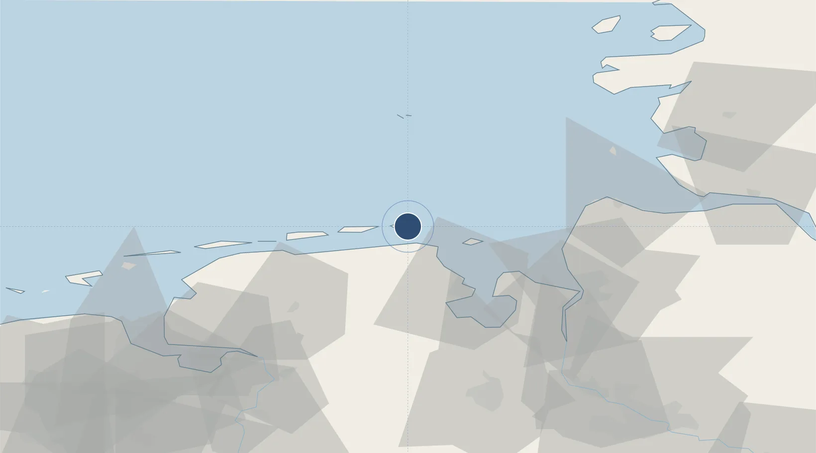
53.7825°, 7.9196°
2,789 ft
Longest runway
2
Runways
7 ft
Elevation

Runway & Layout

Wangerooge Airport runway & taxiway layout
Runway & taxiway layout — OpenStreetMap (ODbL) / OurAirports

Radio Frequencies

AFIS
128.525 MHz
Langen Information
INFO
122.405 MHz
Wooge Radio
OurAirports

Runways · 2

RunwayDimensions SurfaceTrue headingLit
09/27 2,789 × 66ft Asphalt 092°
01/19 1,640 × 98ft Grass 012°
OurAirports

Airport Specifications

IATA code
AGE
OurAirports
ICAO code
EDWG
OurAirports
Airport class
Small airport
OurAirports
Scheduled service
Yes
OurAirports
Runway surface
Asphalt
OurAirports
Served city
Wangerooge
OurAirports

Location

Location of EDWG
Natural Earth 10m (public domain) · Niedersachsen · EDWG · 53.78, 7.92GoogleOSMYandex

Nearby Logistics Neighbours

Airports
  1. 1Harlesiel Airfield11 km
  2. 2Wittmundhafen Air Base31 km
  3. 3Baltrum Airport37 km
  4. 4Helgoland-Düne Airport45 km
  5. 5Norderney Airport46 km
Nearest neighbours — logibook spatial index (haversine) over the source coordinates
Cities
  1. 1Wangerooge2 km
  2. 2Minsen10 km
  3. 3Carolinensiel12 km
  4. 4Harlesiel12 km
  5. 5Horumersiel13 km
Nearest neighbours — logibook spatial index (haversine) over the source coordinates
Ports
  1. 1Wilhelmshaven32 km
  2. 2Helgoland43 km
  3. 3Nordenham50 km
  4. 4Bremerhaven52 km
  5. 5Cuxhaven53 km
Nearest neighbours — logibook spatial index (haversine) over the source coordinates
Trade Zones
  1. 1Freeport of Cuxhaven (Freihafen Cuxhaven)43 km
  2. 2Freeport of Emden69 km
  3. 3Freeport of Bremerhaven (Freihafen Bremerhaven)95 km
  4. 4Freeport of Kiel159 km
  5. 5Freeport of Duisburg275 km
Nearest neighbours — logibook spatial index (haversine) over the source coordinates
DatabookThe Record of Consolidated Knowledge
Germany beyond logistics?
Browse databook

All Sources

AirportsOurAirports
Public domain
Portsthe NGA World Port Index
Public domain (US gov)
LocationsUN/LOCODE
UN/LOCODE — free
Trade Zonesthe World Bank SEZ database
CC BY 4.0
Trade ZonesOpen Zone Map
CC BY
InfrastructureOpenStreetMap
ODbL 1.0
← Germany airports