Seaport · Germany

NordenhamDENHA

53.4833°, 8.4833°
11.0 m
Channel depth
16.3
Port liner connectivity
Nordenham is also a UN/LOCODE logistics hub →

Channel & Berth Profile

SEA LEVEL (CD)CHANNEL BEDAnchorage · 7.9 mOil terminal · 7.9 mChannel · 11.0 mCargo pier · 12.5 m
NGA World Port Index

Pilotage, Tugs & Services

Pilotage compulsoryYES
Pilotage advisableYES
Tug assistanceYES
Shore powerYES
Potable waterYES
Diesel bunkersYES
MedicalYES
Garbage disposalYES
NGA World Port Index

Facilities & Capabilities

Container
Ro-Ro
Liquid bulk
Dry bulk
Oil terminal
Break bulk
Dry dockNO
RepairsNO
BunkeringYES
Rail linkYES
Dangerous cargo
ISPS security
NGA World Port Index

Harbour Specifications

Harbour size
Small
NGA World Port Index
Harbour type
River (Natural)
NGA World Port Index
Shelter
Good
NGA World Port Index
Water body
North Sea; North Atlantic Ocean
NGA World Port Index
Tidal range
4 m
NGA World Port Index
Pilotage
Yes
NGA World Port Index

Liner Connectivity

16.3
PLSCI

Port Liner Shipping Connectivity Index for Nordenham, as published by UNCTAD for the latest available quarter. Higher values indicate stronger scheduled liner-shipping integration.

Shown relative to the highest per-port PLSCI in the dataset (1,657.9).
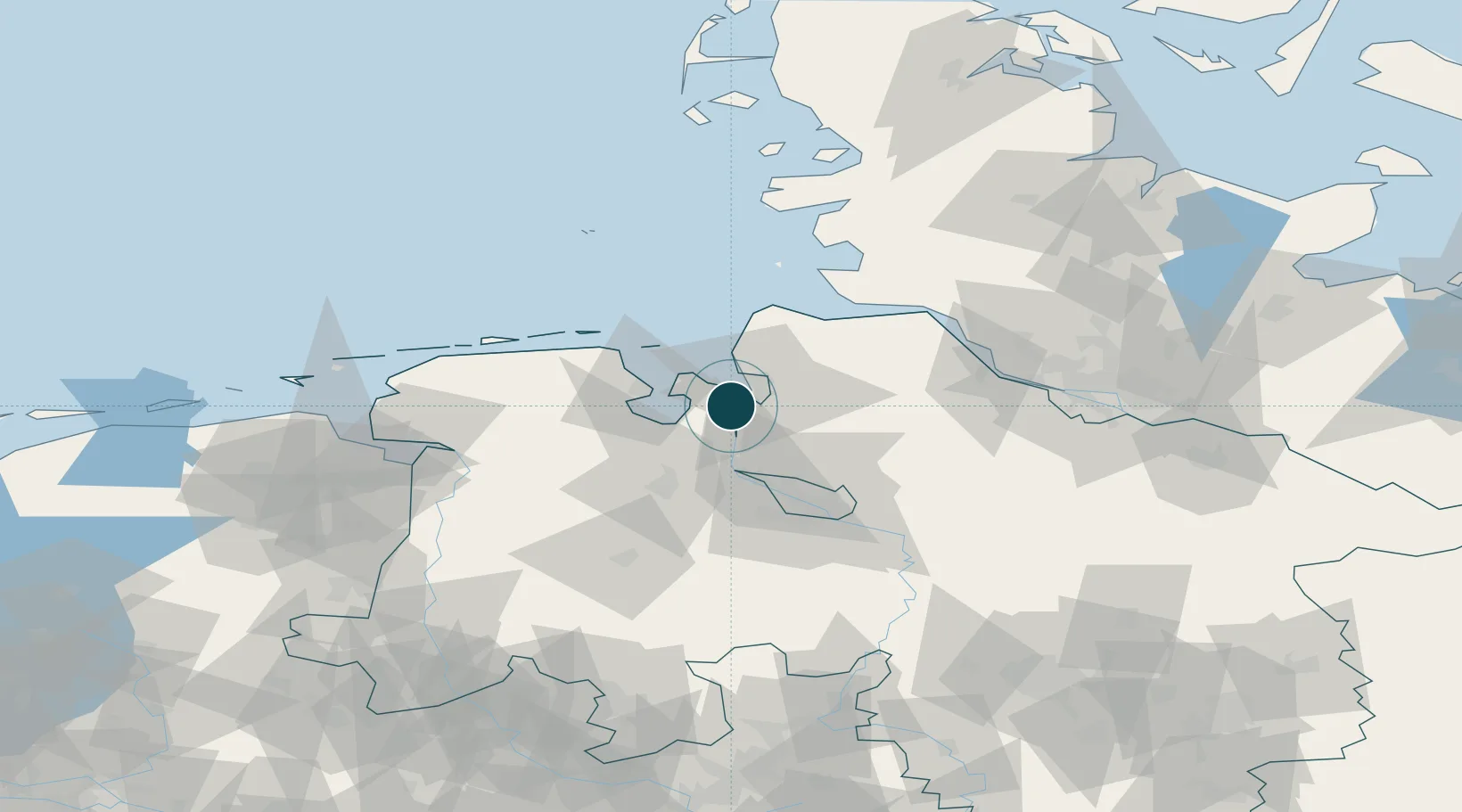
UNCTAD · Port Liner Shipping Connectivity Index

Location

Location of DENHA
Natural Earth 10m (public domain) · Niedersachsen · DENHA · 53.48, 8.48GoogleOSMYandex

Nearby Logistics Neighbours

Ports
  1. 1Bremerhaven9 km
  2. 2Brake17 km
  3. 3Wilhelmshaven22 km
  4. 4Elsfleth28 km
  5. 5Bremen43 km
Nearest neighbours — logibook spatial index (haversine) over the source coordinates
Cities
  1. 1Grossensiel2 km
  2. 2Abbehausen3 km
  3. 3Oldendorf4 km
  4. 4Rodenkirchen10 km
  5. 5Loxstedt11 km
Nearest neighbours — logibook spatial index (haversine) over the source coordinates
Airports
  1. 1Sea-Airport Cuxhaven/Nordholz / Nordholz Naval Airbase34 km
  2. 2Wangerooge Airport50 km
  3. 3Harlesiel Airfield50 km
  4. 4Bremen Airport53 km
  5. 5Wittmundhafen Air Base54 km
Nearest neighbours — logibook spatial index (haversine) over the source coordinates
Trade Zones
  1. 1Freeport of Cuxhaven (Freihafen Cuxhaven)38 km
  2. 2Freeport of Bremerhaven (Freihafen Bremerhaven)48 km
  3. 3Freeport of Emden87 km
  4. 4Freeport of Kiel146 km
  5. 5Freeport of Duisburg260 km
Nearest neighbours — logibook spatial index (haversine) over the source coordinates
DatabookThe Record of Consolidated Knowledge
Germany beyond logistics?
Browse databook

All Sources

Portsthe NGA World Port Index
Public domain (US gov)
Logistics performanceUNCTAD
CC BY 3.0 IGO
AirportsOurAirports
Public domain
LocationsUN/LOCODE
UN/LOCODE — free
Trade Zonesthe World Bank SEZ database
CC BY 4.0
Trade ZonesOpen Zone Map
CC BY
← Germany ports