Transport Functions
Port
Hub Profile
Region
NI
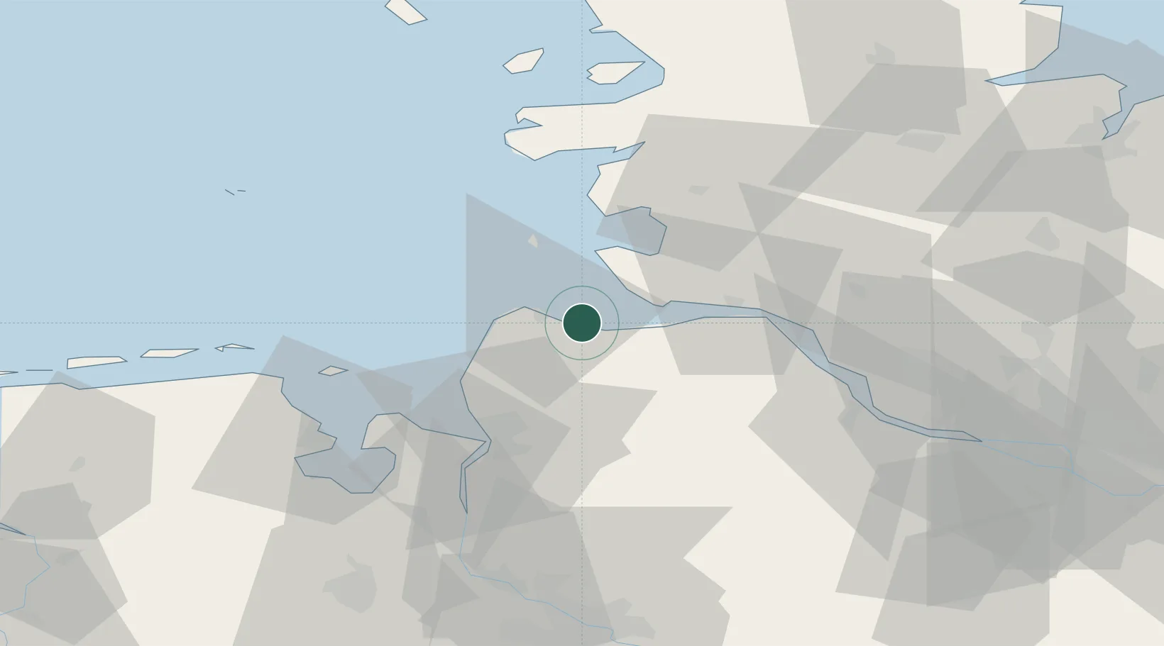
Location
Nearby Logistics Neighbours
Cities
- 1Cuxhaven5 km
- 2Otterndorf9 km
- 3Neuenkirchen/Cuxhaven11 km
- 4Neuhaus an der Oste16 km
- 5Kronprinzenkoog18 km
Ports
- 1Cuxhaven6 km
- 2Neuhaus16 km
- 3Brunsbuttel Elbahafen24 km
- 4Busum32 km
- 5Bremerhaven38 km
Airports
Trade Zones
DatabookThe Record of Consolidated Knowledge
Germany beyond logistics?