UN/LOCODE hub · Germany
DENEH
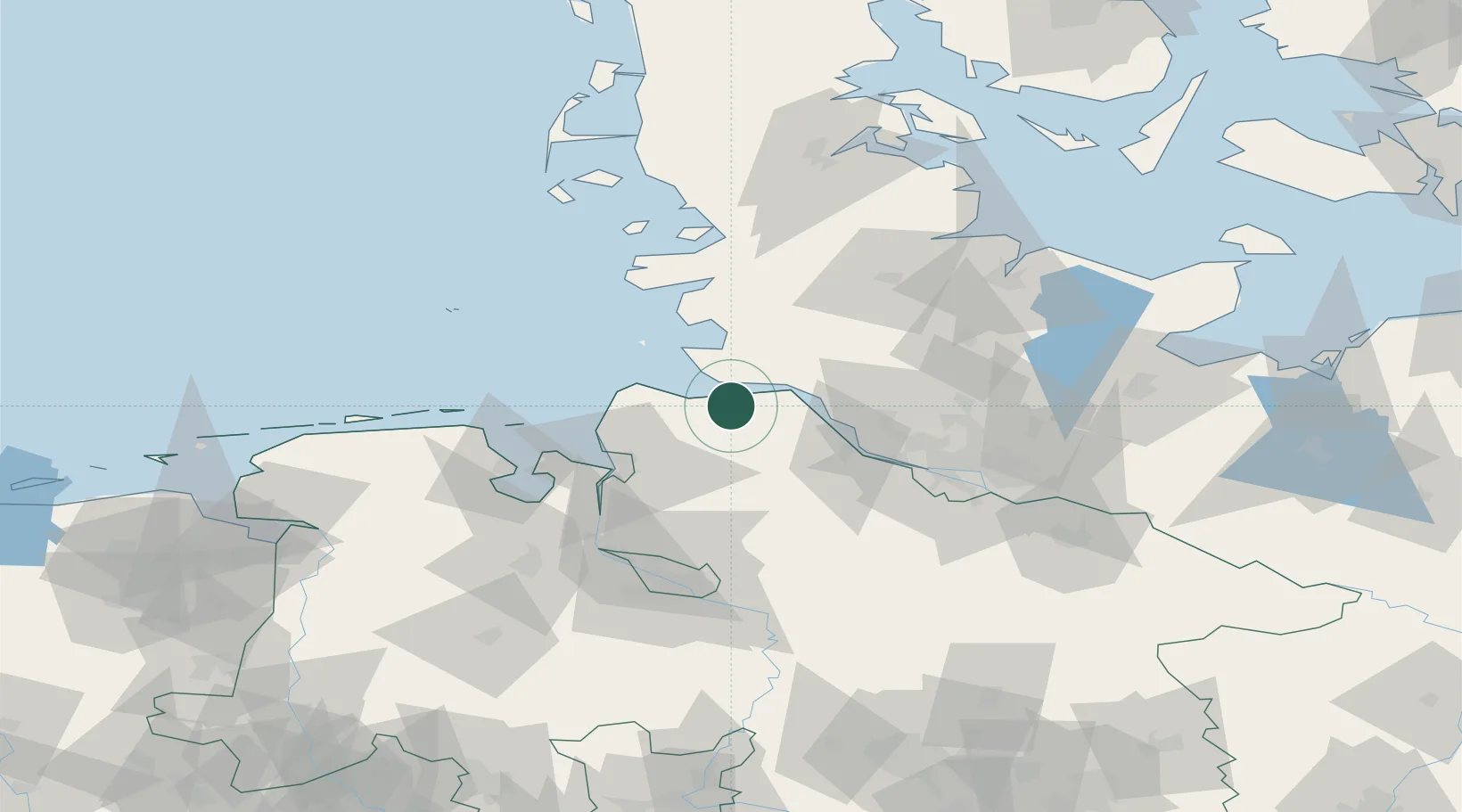
Neuhaus an der Oste
53.8000°, 9.0333°
1,281
Population
3
Transport functions
Transport Functions
Port
Rail
Road
Hub Profile
Place type
Populated place
Region
Lower Saxony
Population
1,281
Time zone
Europe/Berlin
Elevation
1 m
Location
Nearby Logistics Neighbours
Cities
- 1Otterndorf9 km
- 2Neuenkirchen/Cuxhaven10 km
- 3Kiel Canal11 km
- 4Hemmoor12 km
- 5Ostermoor15 km
Ports
- 1Brunsbuttel Elbahafen13 km
- 2Cuxhaven22 km
- 3Gluckstadt25 km
- 4Itzehoe34 km
- 5Butzfleth36 km
Airports
Trade Zones
DatabookThe Record of Consolidated Knowledge
Germany beyond logistics?