Transport Functions
Multimodal
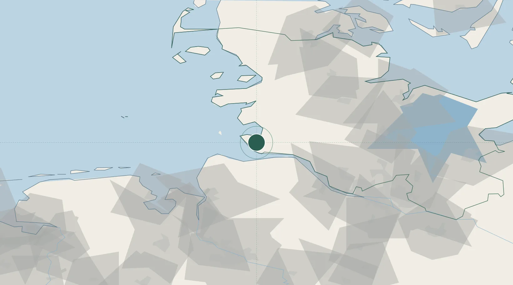
Hub Profile
Place type
Local administrative seat
Region
Schleswig-Holstein
Population
985
Time zone
Europe/Berlin
Elevation
1 m
Location
Nearby Logistics Neighbours
Cities
- 1Sankt Michaelisdonn10 km
- 2Kiel Canal16 km
- 3Ostermoor17 km
- 4Altenbruch Reede18 km
- 5Hemmingstedt20 km
Ports
- 1Brunsbuttel Elbahafen17 km
- 2Busum18 km
- 3Neuhaus21 km
- 4Cuxhaven21 km
- 5Itzehoe37 km
Airports
Trade Zones
DatabookThe Record of Consolidated Knowledge
Germany beyond logistics?