Medium airport · Germany

Sea-Airport Cuxhaven/Nordholz / Nordholz Naval AirbaseETMN
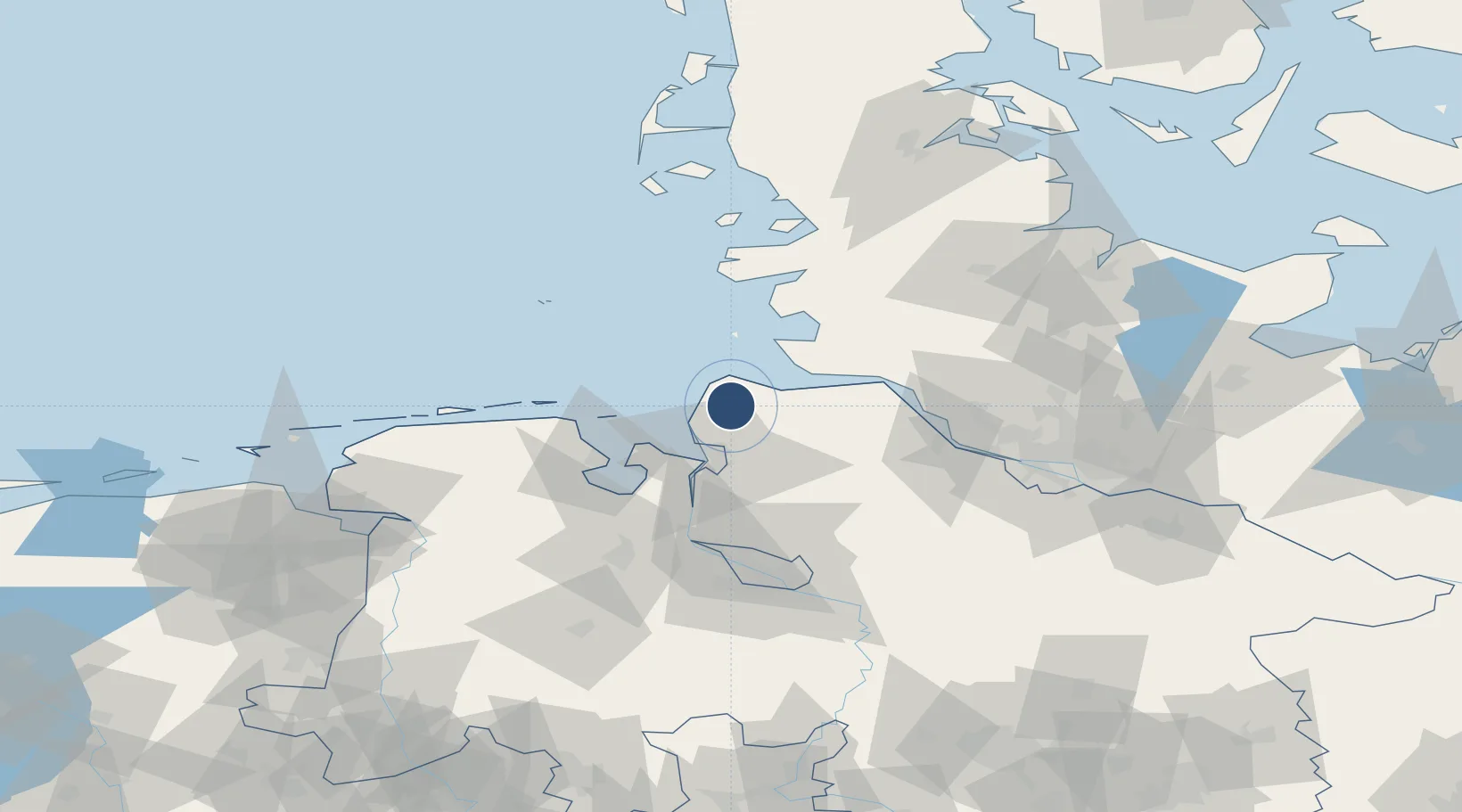
53.7677°, 8.6592°
8,002 ft
Longest runway
1
Runways
74 ft
Elevation

Runway & Layout

Sea-Airport Cuxhaven/Nordholz / Nordholz Naval Airbase runway & taxiway layout
Runway & taxiway layout — OpenStreetMap (ODbL) / OurAirports

Radio Frequencies

TWR
122.1 MHz
Nordholz Tower
TWR
131.265 MHz
Nordholz Tower / Turm
AFIS
125.1 MHz
Langen Information
AFIS
128.525 MHz
Langen Information
OurAirports

Navaids

NDO TACAN Nordholz 117.10 MHz
NDO NDB Nordholz 372 kHz
OurAirports

Runways · 1

RunwayDimensions SurfaceTrue headingLit
08/26 8,002 × 148ft Concrete 078°
OurAirports

Airport Specifications

IATA code
FCN
OurAirports
ICAO code
ETMN
OurAirports
Airport class
Medium airport
OurAirports
Scheduled service
Yes
OurAirports
Runway surface
Concrete
OurAirports
Served city
Wurster Nordseeküste
OurAirports

Location

Location of ETMN
Natural Earth 10m (public domain) · Niedersachsen · ETMN · 53.77, 8.66GoogleOSMYandex

Nearby Logistics Neighbours

Airports
  1. 1Heide-Büsum Airport46 km
  2. 2Wangerooge Airport49 km
  3. 3Harlesiel Airfield56 km
  4. 4Helgoland-Düne Airport67 km
  5. 5Wittmundhafen Air Base70 km
Nearest neighbours — logibook spatial index (haversine) over the source coordinates
Cities
  1. 1Cuxhaven11 km
  2. 2Altenbruch Reede13 km
  3. 3Neuenkirchen/Cuxhaven16 km
  4. 4Otterndorf16 km
  5. 5Debstedt17 km
Nearest neighbours — logibook spatial index (haversine) over the source coordinates
Ports
  1. 1Cuxhaven12 km
  2. 2Neuhaus25 km
  3. 3Bremerhaven27 km
  4. 4Nordenham34 km
  5. 5Brunsbuttel Elbahafen36 km
Nearest neighbours — logibook spatial index (haversine) over the source coordinates
Trade Zones
  1. 1Freeport of Cuxhaven (Freihafen Cuxhaven)9 km
  2. 2Freeport of Bremerhaven (Freihafen Bremerhaven)76 km
  3. 3Freeport of Emden108 km
  4. 4Freeport of Kiel117 km
  5. 5Freeport of Duisburg294 km
Nearest neighbours — logibook spatial index (haversine) over the source coordinates
DatabookThe Record of Consolidated Knowledge
Germany beyond logistics?
Browse databook

All Sources

AirportsOurAirports
Public domain
Portsthe NGA World Port Index
Public domain (US gov)
LocationsUN/LOCODE
UN/LOCODE — free
Trade Zonesthe World Bank SEZ database
CC BY 4.0
Trade ZonesOpen Zone Map
CC BY
InfrastructureOpenStreetMap
ODbL 1.0
← Germany airports