Transport Functions
Port
Rail
Road
Hub Profile
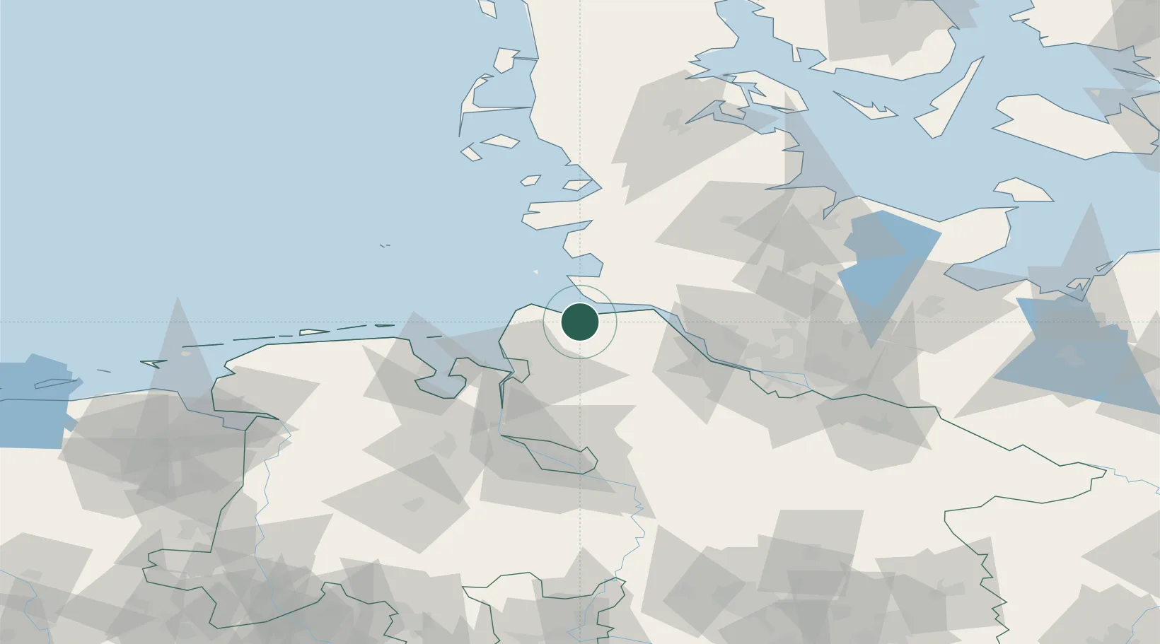
Place type
Local administrative seat
Region
Lower Saxony
Population
6,965
Time zone
Europe/Berlin
Elevation
1 m
Location
Nearby Logistics Neighbours
Cities
- 1Neuenkirchen/Cuxhaven4 km
- 2Altenbruch Reede9 km
- 3Neuhaus an der Oste9 km
- 4Cuxhaven13 km
- 5Kiel Canal18 km
Ports
- 1Neuhaus9 km
- 2Cuxhaven14 km
- 3Brunsbuttel Elbahafen20 km
- 4Gluckstadt34 km
- 5Bremerhaven36 km
Airports
Trade Zones
DatabookThe Record of Consolidated Knowledge
Germany beyond logistics?