Seaport · Germany

Brunsbuttel ElbahafenDEBRB
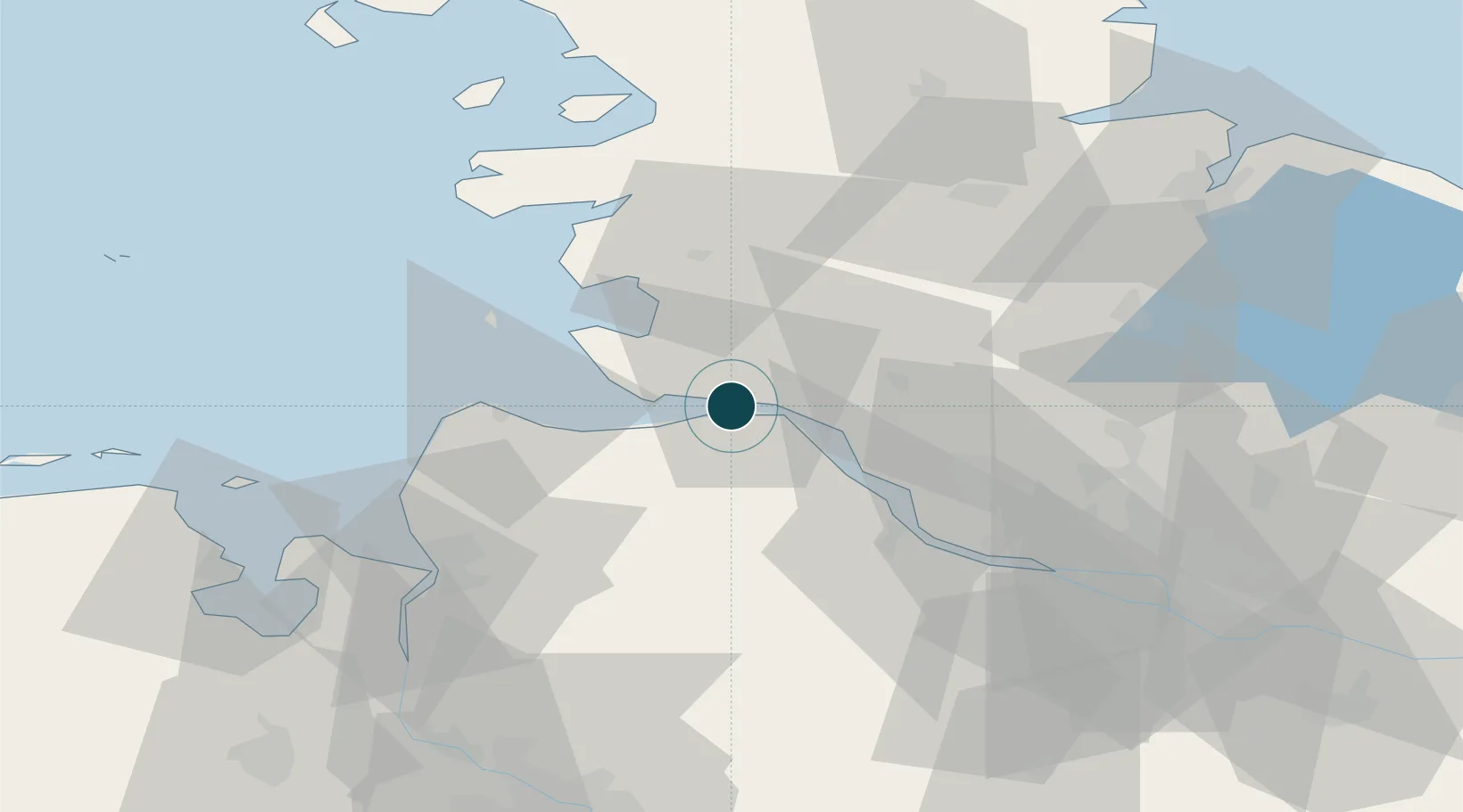
53.8833°, 9.1667°
12.5 m
Channel depth
9.6
Port liner connectivity

Channel & Berth Profile

SEA LEVEL (CD)CHANNEL BEDAnchorage · 11.0 mChannel · 12.5 mCargo pier · 12.5 mOil terminal · 14.0 m
NGA World Port Index

Pilotage, Tugs & Services

Pilotage compulsoryYES
Pilotage availableYES
Pilotage advisableYES
Tug assistanceYES
Shore powerNO
Potable waterYES
Diesel bunkersYES
MedicalYES
Garbage disposalYES
NGA World Port Index

Facilities & Capabilities

Container
Ro-Ro
Liquid bulk
Dry bulk
Oil terminal
Break bulk
Dry dock
Repairs
BunkeringYES
Rail linkYES
Dangerous cargo
ISPS security
NGA World Port Index

Harbour Specifications

Harbour size
Very Small
NGA World Port Index
Harbour type
River (Natural)
NGA World Port Index
Shelter
Fair
NGA World Port Index
Water body
North Sea; North Atlantic Ocean
NGA World Port Index
Tidal range
5 m
NGA World Port Index
Overhead limit
Yes
NGA World Port Index
Pilotage
Yes
NGA World Port Index

Liner Connectivity

9.6
PLSCI

Port Liner Shipping Connectivity Index for Brunsbuttel Elbahafen, as published by UNCTAD for the latest available quarter. Higher values indicate stronger scheduled liner-shipping integration.

Shown relative to the highest per-port PLSCI in the dataset (1,657.9).

UNCTAD · Port Liner Shipping Connectivity Index

Location

Location of DEBRB
Natural Earth 10m (public domain) · Schleswig-Holstein · DEBRB · 53.88, 9.17GoogleOSMYandex

Nearby Logistics Neighbours

Ports
  1. 1Neuhaus13 km
  2. 2Gluckstadt20 km
  3. 3Itzehoe23 km
  4. 4Cuxhaven30 km
  5. 5Busum34 km
Nearest neighbours — logibook spatial index (haversine) over the source coordinates
Cities
  1. 1Ostermoor2 km
  2. 2Kiel Canal2 km
  3. 3Sankt Margarethen6 km
  4. 4Ecklak10 km
  5. 5Sankt Michaelisdonn12 km
Nearest neighbours — logibook spatial index (haversine) over the source coordinates
Airports
  1. 1Heide-Büsum Airport35 km
  2. 2Sea-Airport Cuxhaven/Nordholz / Nordholz Naval Airbase36 km
  3. 3Uetersen-Heist Airfield44 km
  4. 4Hohn Air Base54 km
  5. 5Hamburg-Finkenwerder Airport59 km
Nearest neighbours — logibook spatial index (haversine) over the source coordinates
Trade Zones
  1. 1Freeport of Cuxhaven (Freihafen Cuxhaven)40 km
  2. 2Freeport of Kiel83 km
  3. 3Freeport of Bremerhaven (Freihafen Bremerhaven)92 km
  4. 4Freeport of Emden144 km
  5. 5Freeport of Copenhagen- Nordhavn300 km
Nearest neighbours — logibook spatial index (haversine) over the source coordinates
DatabookThe Record of Consolidated Knowledge
Germany beyond logistics?
Browse databook

All Sources

Portsthe NGA World Port Index
Public domain (US gov)
Logistics performanceUNCTAD
CC BY 3.0 IGO
AirportsOurAirports
Public domain
LocationsUN/LOCODE
UN/LOCODE — free
Trade Zonesthe World Bank SEZ database
CC BY 4.0
Trade ZonesOpen Zone Map
CC BY
← Germany ports