UN/LOCODE hub · Germany
DECUX
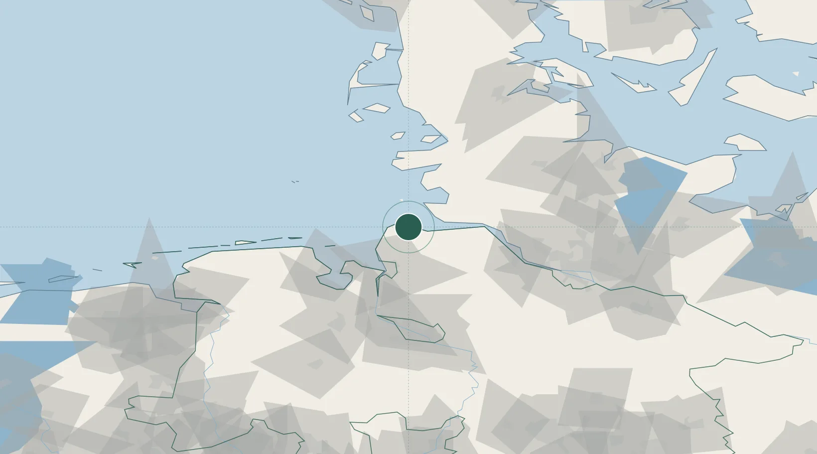
Cuxhaven
53.8611°, 8.7250°
52,677
Population
3
Transport functions
1
Container terminals
Transport Functions
Port
Rail
Road
Hub Profile
Place type
District seat
Region
Lower Saxony
Population
52,677
Time zone
Europe/Berlin
Elevation
3 m
Logistics facilities
1
Container terminals
1
Location
Nearby Logistics Neighbours
Cities
- 1Altenbruch Reede5 km
- 2Otterndorf13 km
- 3Neuenkirchen/Cuxhaven16 km
- 4Kronprinzenkoog21 km
- 5Neuhaus an der Oste21 km
Ports
- 1Neuhaus21 km
- 2Brunsbuttel Elbahafen29 km
- 3Busum32 km
- 4Bremerhaven38 km
- 5Nordenham45 km
Airports
Trade Zones
DatabookThe Record of Consolidated Knowledge
Germany beyond logistics?