Channel & Berth Profile
Pilotage, Tugs & Services
Pilotage compulsoryNO
Pilotage availableYES
Pilotage advisableYES
Tug assistanceYES
Potable waterYES
Diesel bunkersYES
MedicalYES
Garbage disposalYES
Facilities & Capabilities
Container—
Ro-Ro—
Liquid bulk—
Dry bulk—
Oil terminal—
Break bulk—
Dry dock—
RepairsNO
Bunkering—
Rail link—
Dangerous cargo—
ISPS security—
Harbour Specifications
Harbour size
Very Small
Harbour type
Coastal (Natural)
Shelter
Fair
Water body
North Sea; North Atlantic Ocean
Tidal range
3 m
Overhead limit
Yes
Pilotage
No
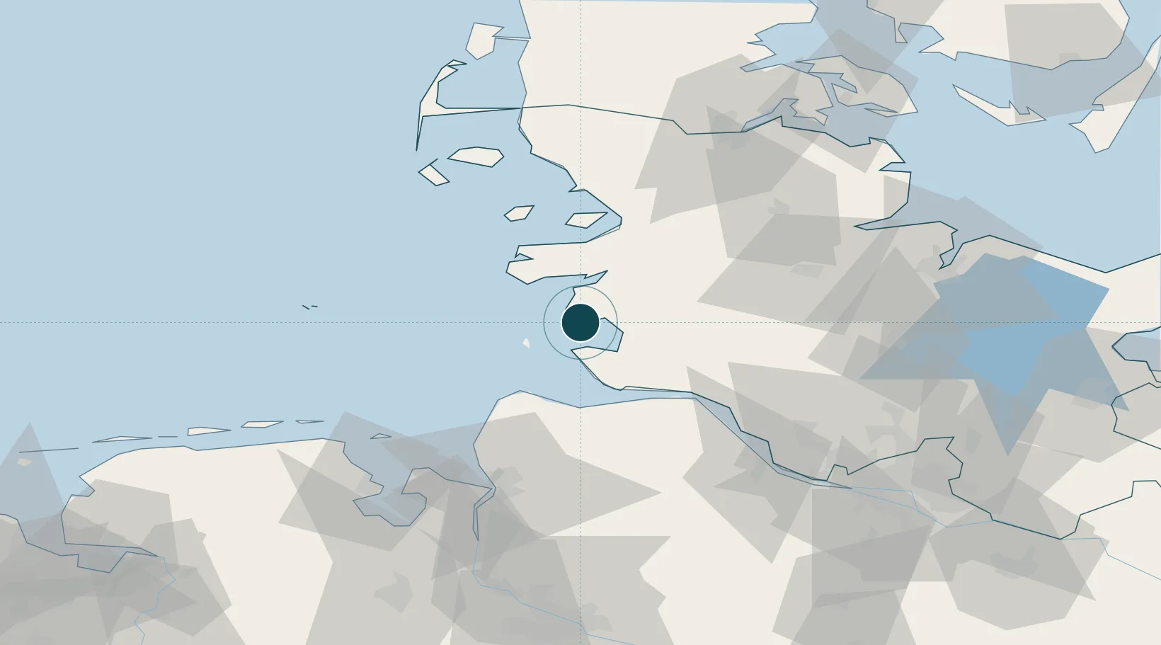
Location
Nearby Logistics Neighbours
Ports
- 1Cuxhaven31 km
- 2Brunsbuttel Elbahafen34 km
- 3Neuhaus39 km
- 4Husum41 km
- 5Itzehoe49 km
Cities
- 1Hemmingstedt13 km
- 2Heide15 km
- 3Schülper Neuensiel15 km
- 4Vollerwiek17 km
- 5Kronprinzenkoog18 km
Airports
Trade Zones
DatabookThe Record of Consolidated Knowledge
Germany beyond logistics?