UN/LOCODE hub · Germany
DEZCS

Neuenkirchen/Cuxhaven

53.7667°, 8.9000°
1
Transport functions

Transport Functions

Multimodal
UN/LOCODE

Hub Profile

Region
NI
GeoNames

Location

Location of DEZCS
Natural Earth 10m (public domain) · NI · DEZCS · 53.77, 8.90GoogleOSMYandex

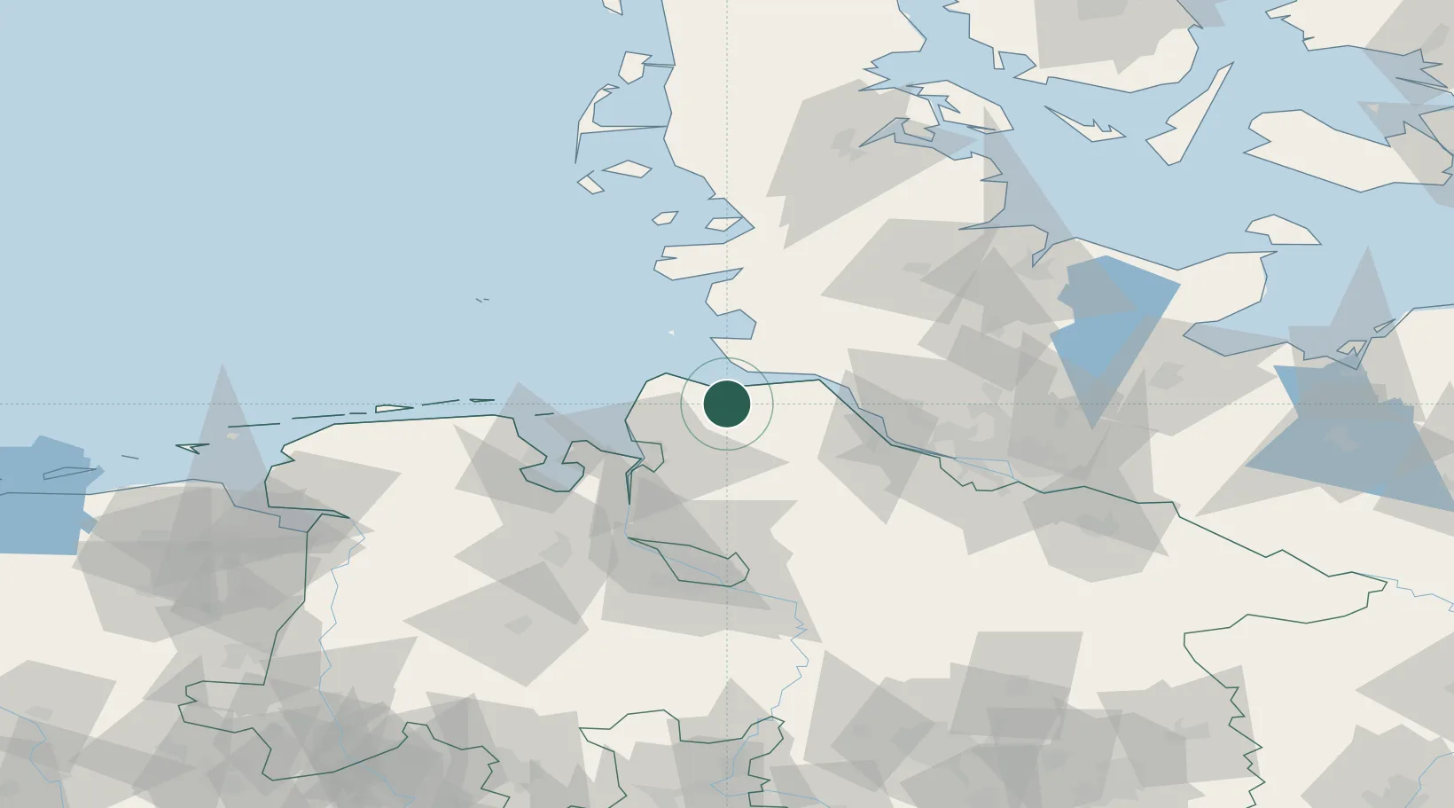
Nearby Logistics Neighbours

Cities
  1. 1Otterndorf4 km
  2. 2Neuhaus an der Oste10 km
  3. 3Altenbruch Reede11 km
  4. 4Cuxhaven16 km
  5. 5Hemmoor16 km
Nearest neighbours — logibook spatial index (haversine) over the source coordinates
Ports
  1. 1Neuhaus10 km
  2. 2Cuxhaven16 km
  3. 3Brunsbuttel Elbahafen22 km
  4. 4Bremerhaven33 km
  5. 5Gluckstadt34 km
Nearest neighbours — logibook spatial index (haversine) over the source coordinates
Airports
  1. 1Sea-Airport Cuxhaven/Nordholz / Nordholz Naval Airbase16 km
  2. 2Heide-Büsum Airport43 km
  3. 3Uetersen-Heist Airfield55 km
  4. 4Wangerooge Airport64 km
  5. 5Hamburg-Finkenwerder Airport67 km
Nearest neighbours — logibook spatial index (haversine) over the source coordinates
Trade Zones
  1. 1Freeport of Cuxhaven (Freihafen Cuxhaven)23 km
  2. 2Freeport of Bremerhaven (Freihafen Bremerhaven)76 km
  3. 3Freeport of Kiel104 km
  4. 4Freeport of Emden123 km
  5. 5Freeport of Duisburg302 km
Nearest neighbours — logibook spatial index (haversine) over the source coordinates
DatabookThe Record of Consolidated Knowledge
Germany beyond logistics?
Browse databook

All Sources

LocationsUN/LOCODE
UN/LOCODE — free
Portsthe NGA World Port Index
Public domain (US gov)
AirportsOurAirports
Public domain
Trade Zonesthe World Bank SEZ database
CC BY 4.0
Trade ZonesOpen Zone Map
CC BY
← Germany locations