Small airport · Germany

Heide-Büsum AirportEDXB
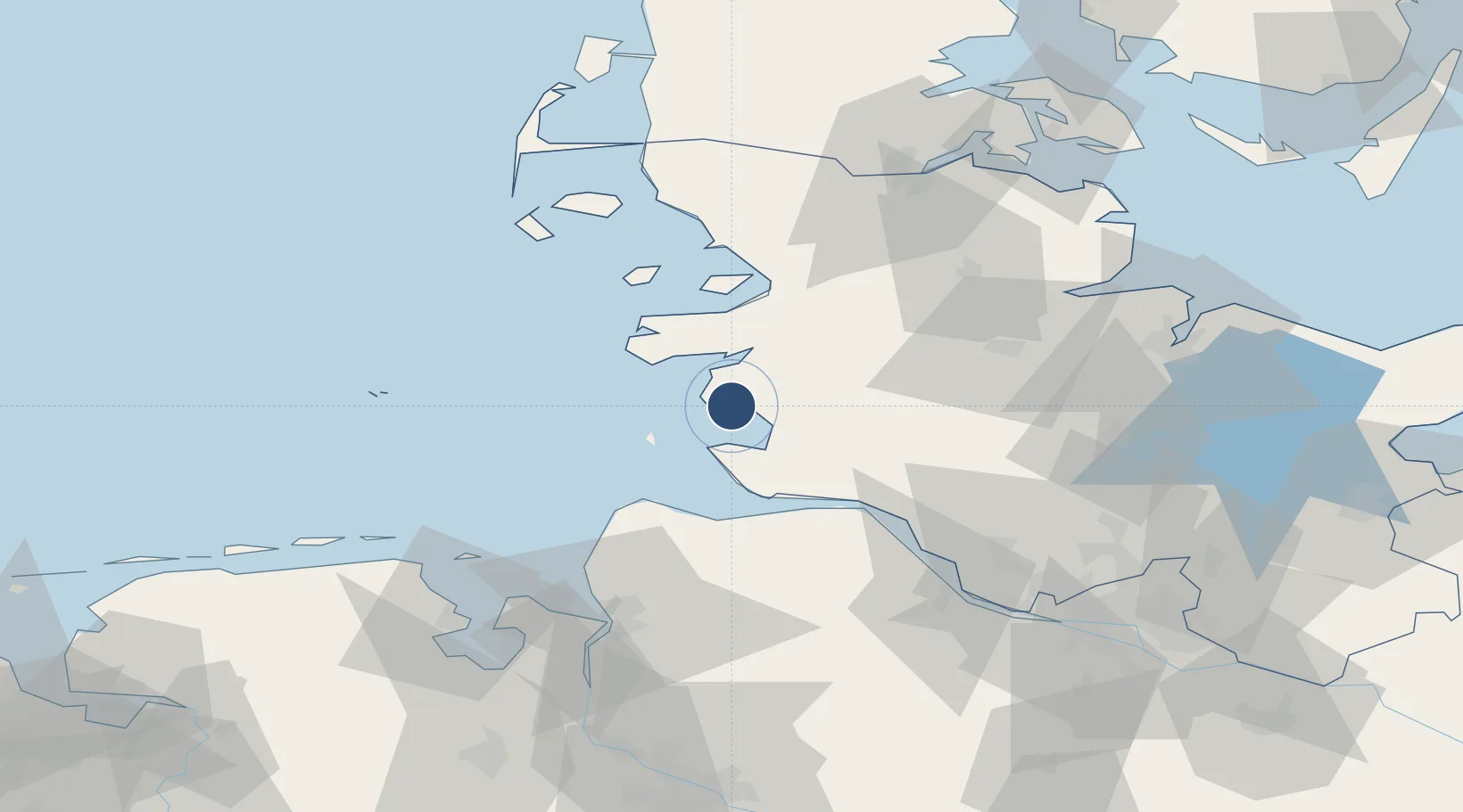
54.1533°, 8.9017°
2,362 ft
Longest runway
1
Runways
7 ft
Elevation

Runway & Layout

Heide-Büsum Airport runway & taxiway layout
Runway & taxiway layout — OpenStreetMap (ODbL) / OurAirports

Radio Frequencies

AFIS
125.1 MHz
Langen Information
INFO
125.86 MHz
Buesum Radio
OurAirports

Runways · 1

RunwayDimensions SurfaceTrue headingLit
11/29 2,362 × 76ft ASPHALT
OurAirports

Airport Specifications

IATA code
HEI
OurAirports
ICAO code
EDXB
OurAirports
Airport class
Small airport
OurAirports
Scheduled service
Yes
OurAirports
Runway surface
ASPHALT
OurAirports
Served city
Oesterdeichstrich
OurAirports

Location

Location of EDXB
Natural Earth 10m (public domain) · Schleswig-Holstein · EDXB · 54.15, 8.90GoogleOSMYandex

Nearby Logistics Neighbours

Airports
  1. 1Hohn Air Base45 km
  2. 2Sea-Airport Cuxhaven/Nordholz / Nordholz Naval Airbase46 km
  3. 3Schleswig Air Base52 km
  4. 4Helgoland-Düne Airport64 km
  5. 5Wangerooge Airport76 km
Nearest neighbours — logibook spatial index (haversine) over the source coordinates
Cities
  1. 1Hemmingstedt11 km
  2. 2Heide12 km
  3. 3Schülper Neuensiel13 km
  4. 4Vollerwiek16 km
  5. 5Kronprinzenkoog19 km
Nearest neighbours — logibook spatial index (haversine) over the source coordinates
Ports
  1. 1Busum3 km
  2. 2Cuxhaven34 km
  3. 3Brunsbuttel Elbahafen35 km
  4. 4Husum38 km
  5. 5Neuhaus40 km
Nearest neighbours — logibook spatial index (haversine) over the source coordinates
Trade Zones
  1. 1Freeport of Cuxhaven (Freihafen Cuxhaven)43 km
  2. 2Freeport of Kiel85 km
  3. 3Freeport of Bremerhaven (Freihafen Bremerhaven)118 km
  4. 4Freeport of Emden145 km
  5. 5Freeport of Copenhagen- Nordhavn293 km
Nearest neighbours — logibook spatial index (haversine) over the source coordinates
DatabookThe Record of Consolidated Knowledge
Germany beyond logistics?
Browse databook

All Sources

AirportsOurAirports
Public domain
Portsthe NGA World Port Index
Public domain (US gov)
LocationsUN/LOCODE
UN/LOCODE — free
Trade Zonesthe World Bank SEZ database
CC BY 4.0
Trade ZonesOpen Zone Map
CC BY
InfrastructureOpenStreetMap
ODbL 1.0
← Germany airports